January 4, 2013
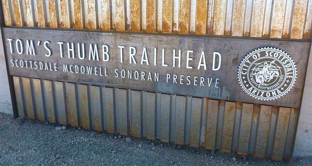
Here is the entrance sign to the Tom's Thumb Trail Head in Scottsdale, Arizona
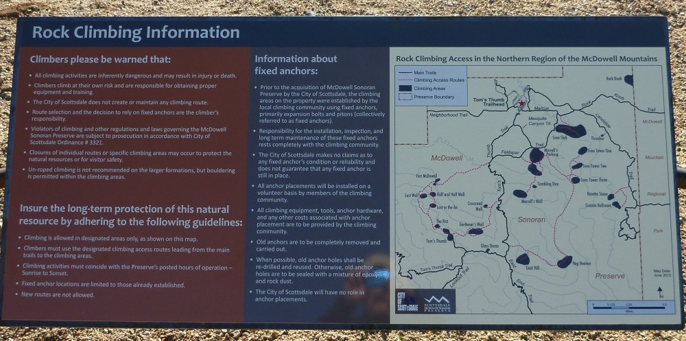
Trail map sign for McDowell Mountains with plenty of areas for those who enjoy rock climbing
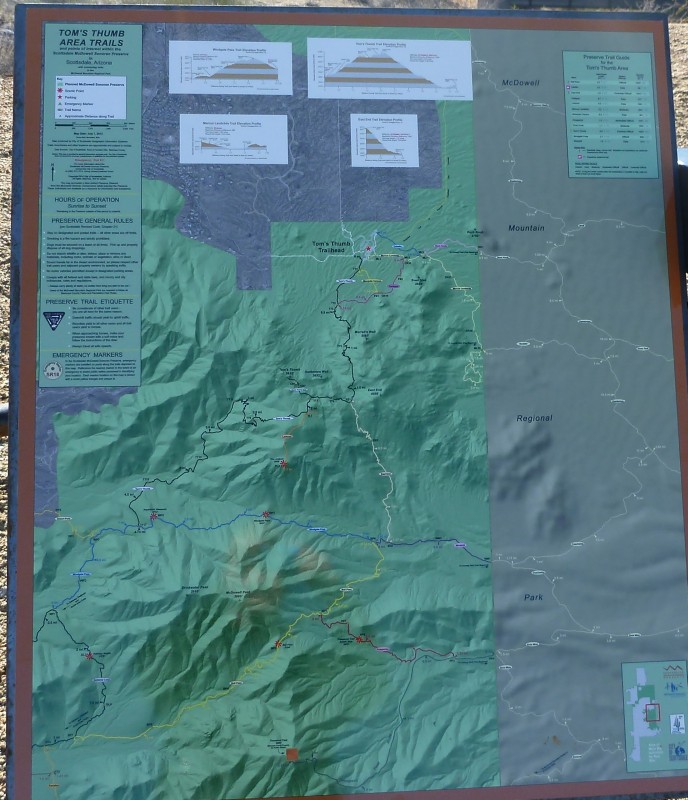
Sign showing trails around Tom's Thumb area
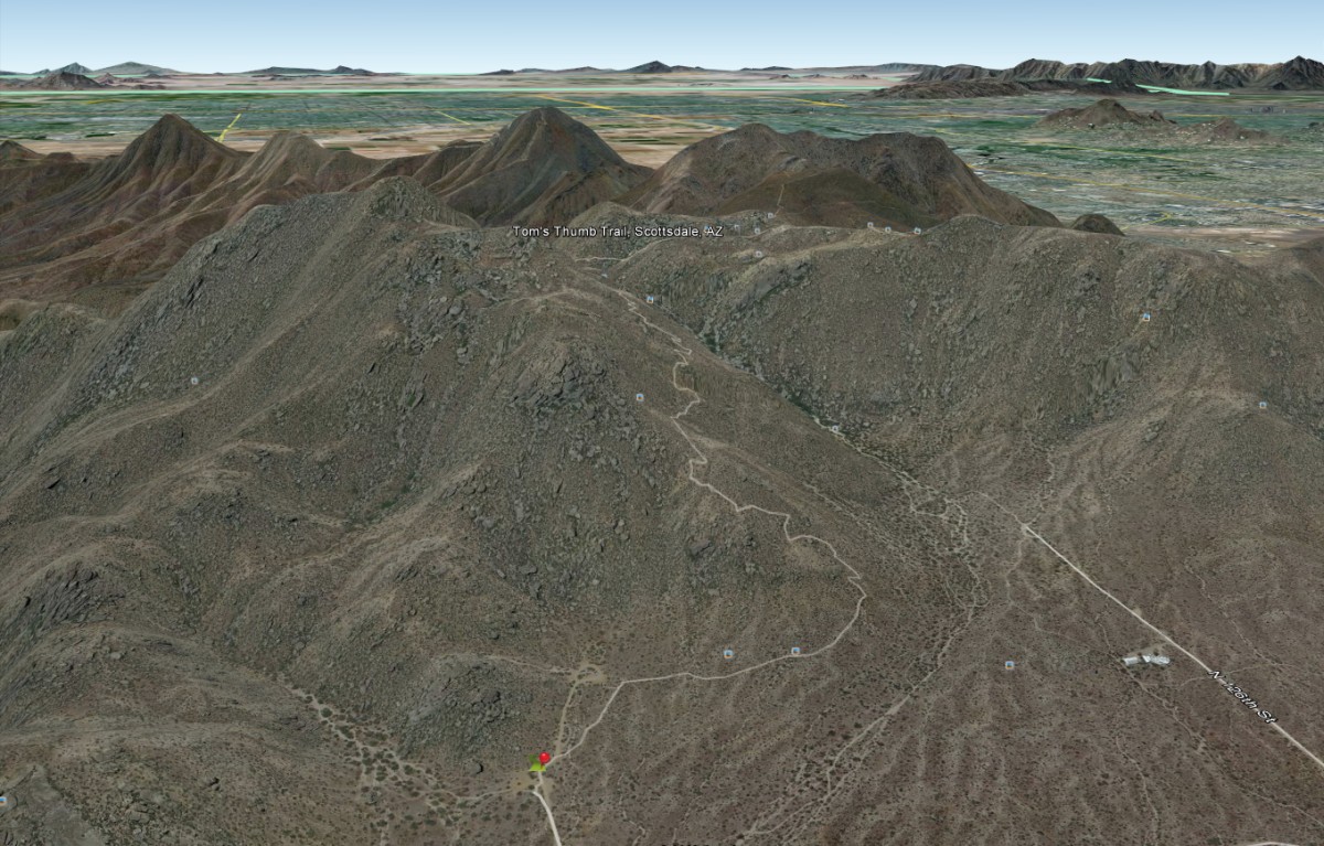
Google Earth view of the trail
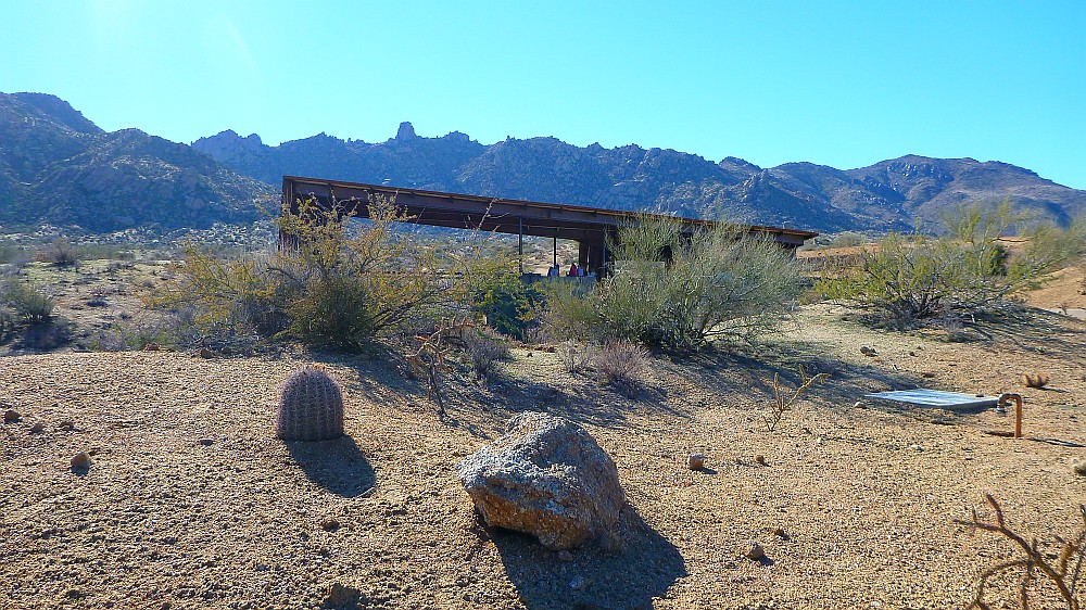
The trail head has a nice covered shelter with bathrooms, but no water!
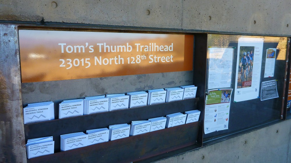
Plenty of trail maps are available for the McDowell Sonoran Preserve Recreation Area
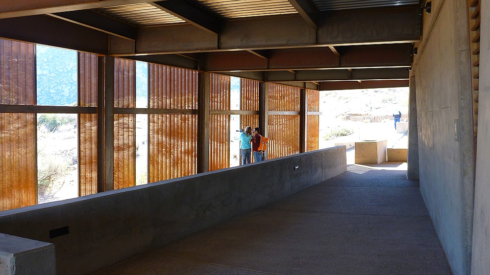
There's the view looking at the trail head from inside the shelter
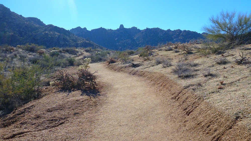
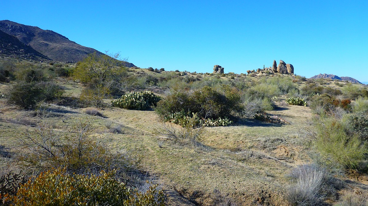
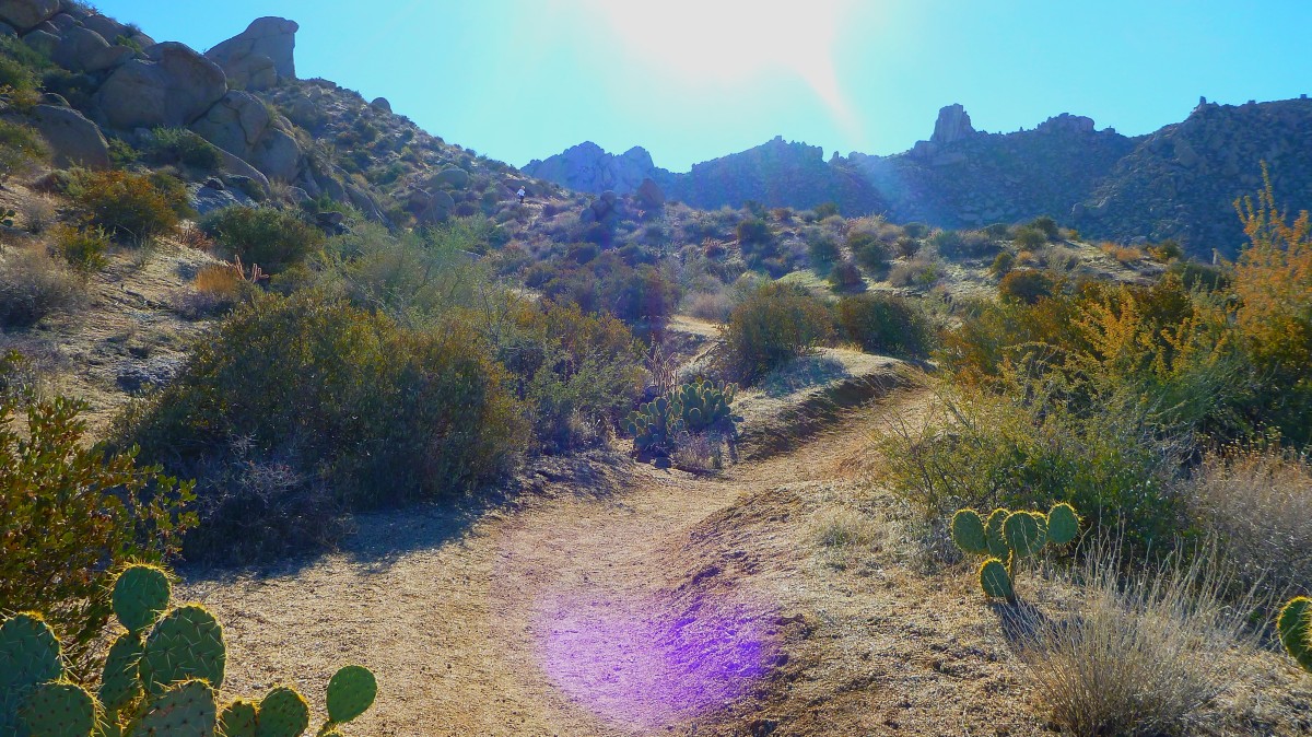
This is the view as you start on the 2.1 mile hike to Tom's Thumb which is the rock prominence straight ahead.
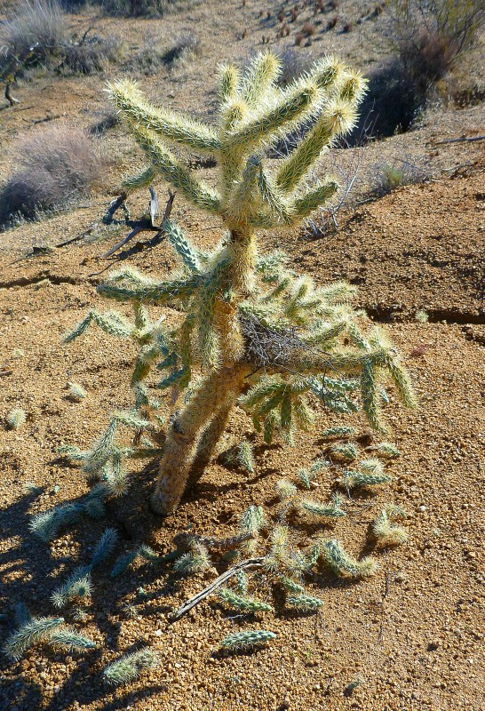
Watch out for this Devil's Cholla. Those little prickly droppings are bad news if you get some stuck on you.
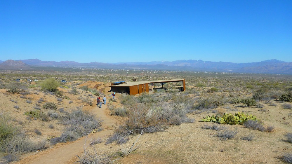
The view looking back at the shelter from the start of the trail to Tom's Thumb
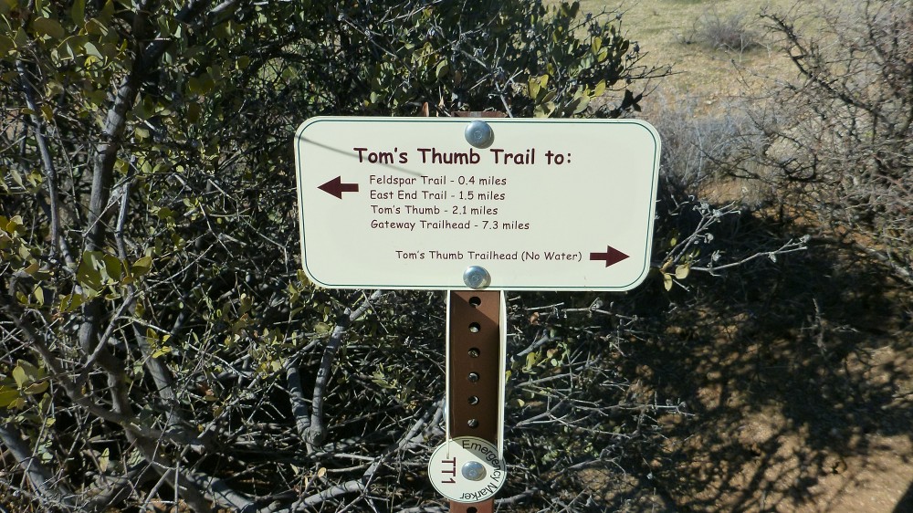
Here is the first trail sign showing that Tom's Thumb is 2.1 miles ahead
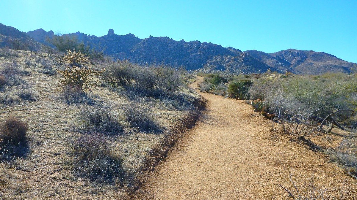
The trail is very easy and wide for the first half mile until you get to the base of the mountain.
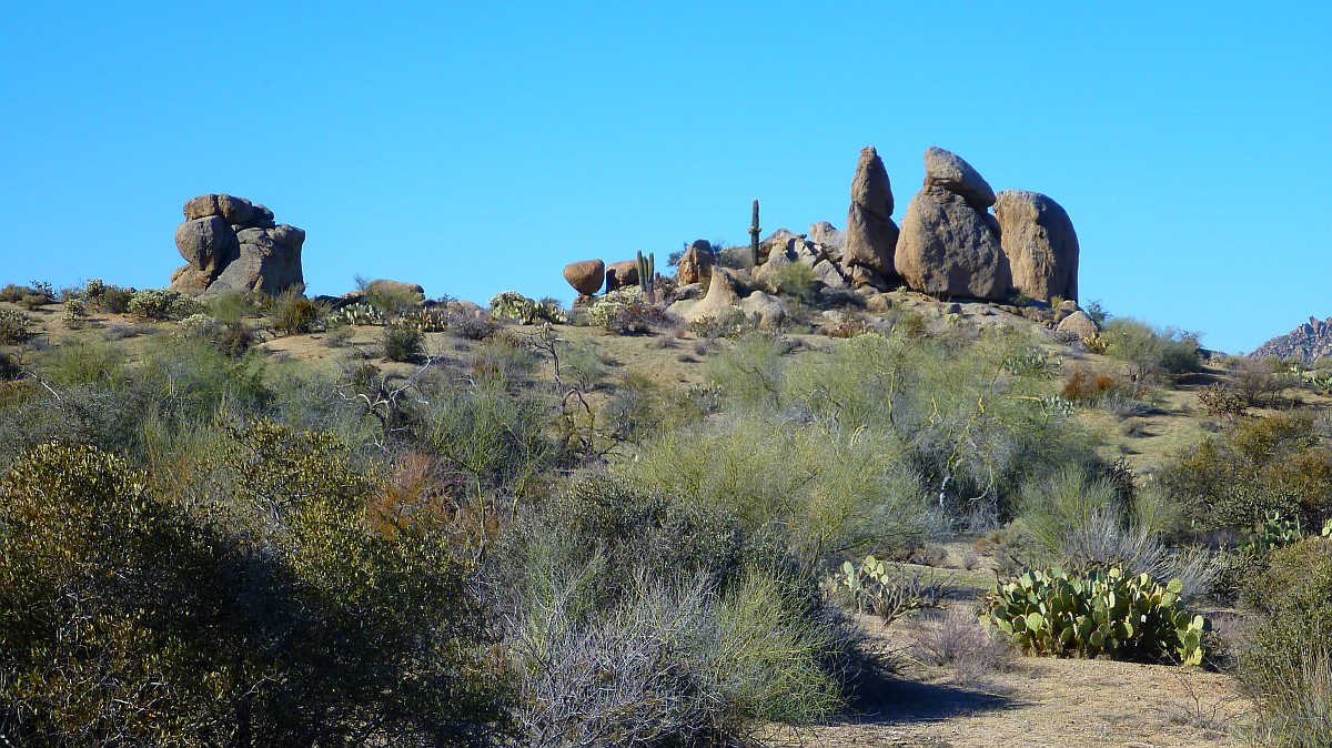
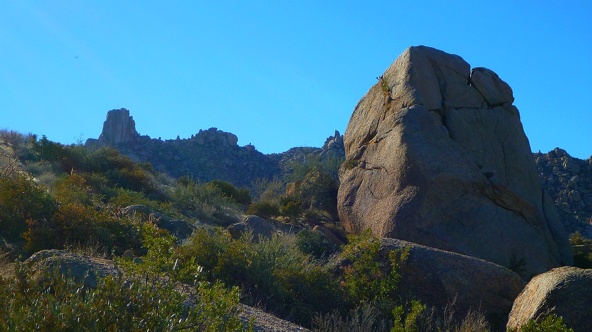
There is a view of a natural rock formation in the distance that reminds me of Stonehenge in England
Another Stonehenge view using the 8X zoom of the Lumix TS4. All the photos of this hike were taken with the Lumix Pocket Camera and Blackberry cell phone.
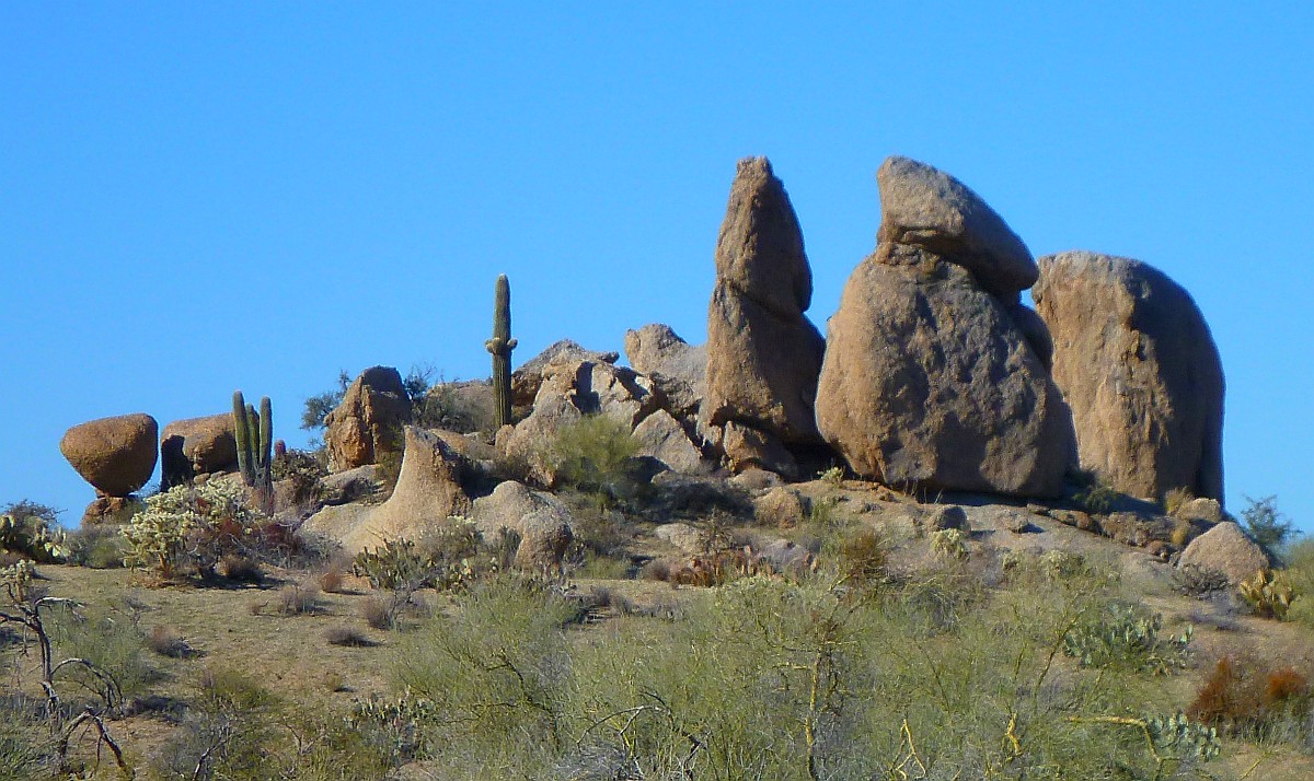
Another Stonehenge view using the 8X zoom of the Lumix TS4 plus extra digital magnification. Those 9 mega pixels do come in handy.
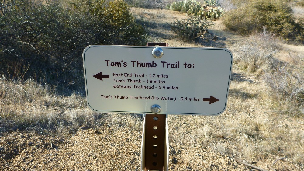
The next trail sign appears as you get closer to the base of the mountain
Now the trail gets much steeper as you start up the base of the mountain
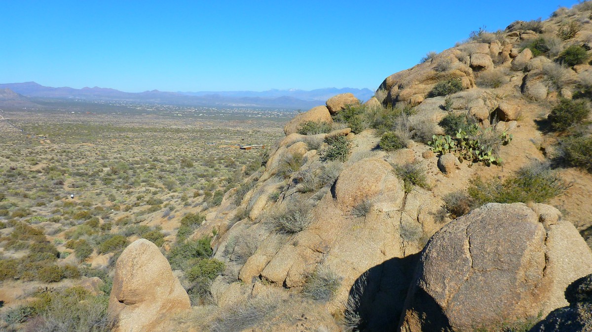
There is the trailhead shelter looking farther away as you start the real part of the hike
There is the view looking up at Tom's Thumb as you start up the base of the mountain. It is much farther than it looks.
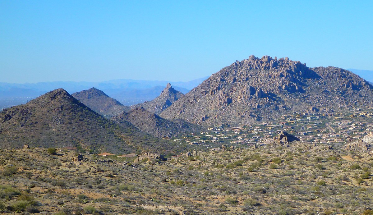
Pinnacle Peak in the distance as you look West from the trail.
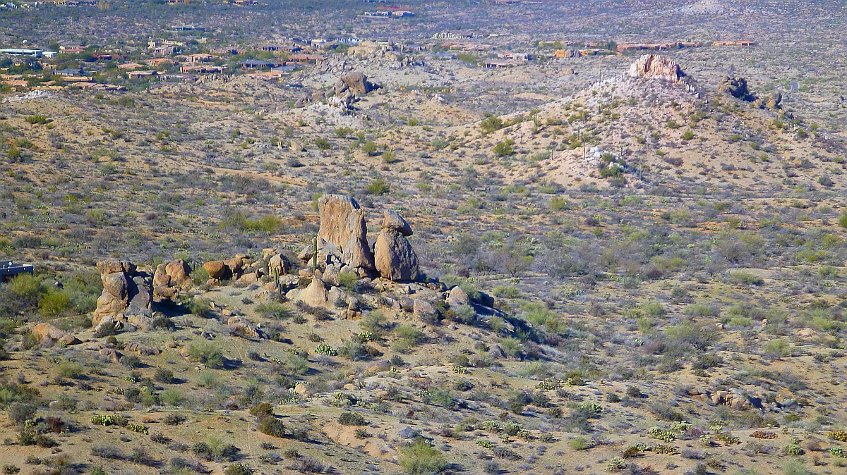
Another 8x zoom view of the Stonehenge rock formation from higher up on the trail. That Lumix optical image stabilizer does a pretty good job here.
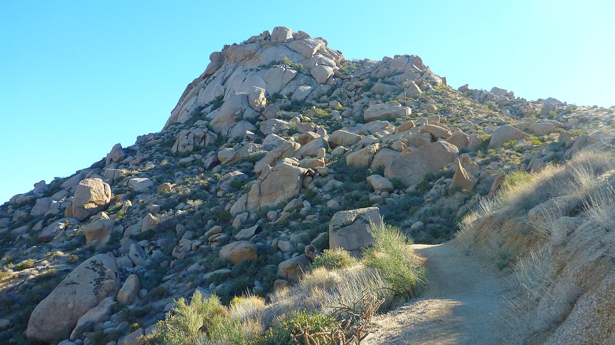
This is how the trail looks as you head up the mountain. It is very steep and narrow in parts.