June 3, 2015
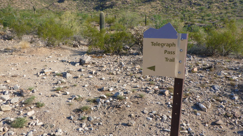
There's the Telegraph Pass trailhead up South Mountain
The trail starts out as a nice paved walkway
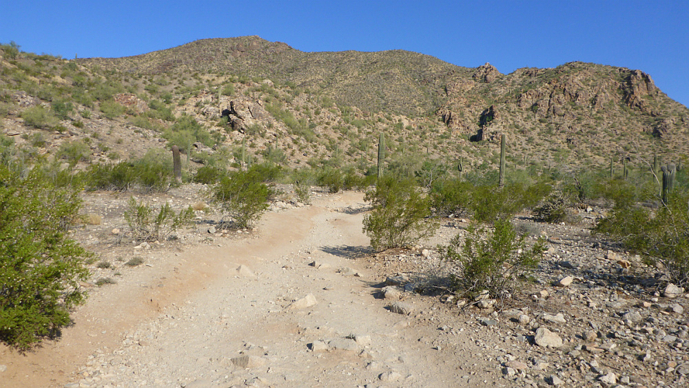
Then the pavement ends and a real trail begins
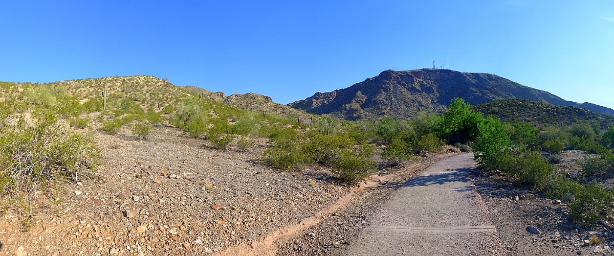
Telegraph Pass is straight ahead and takes you up the mountain on the left.
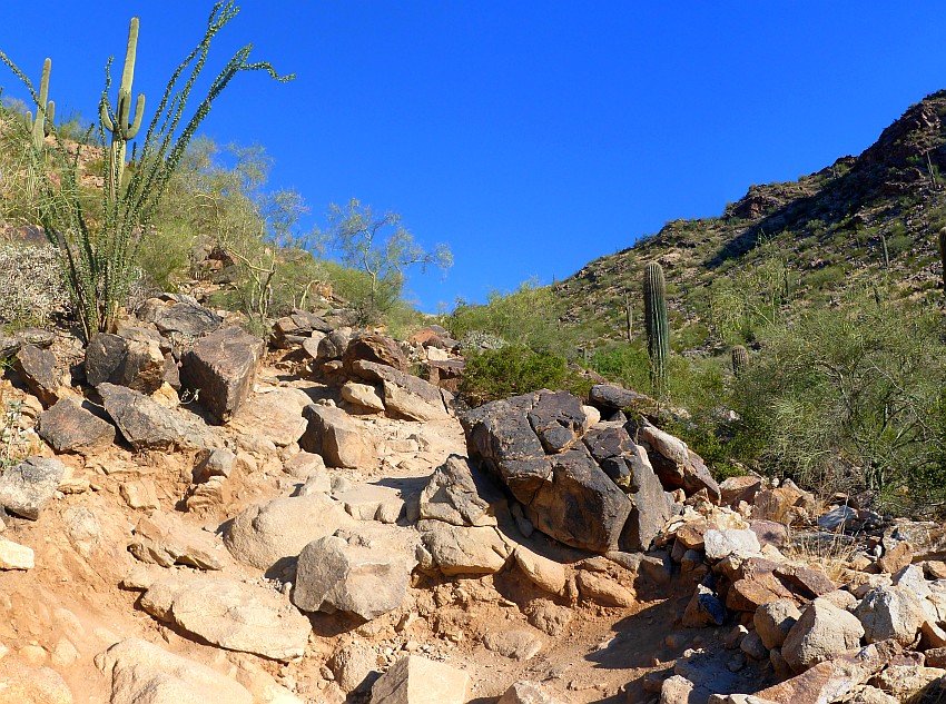
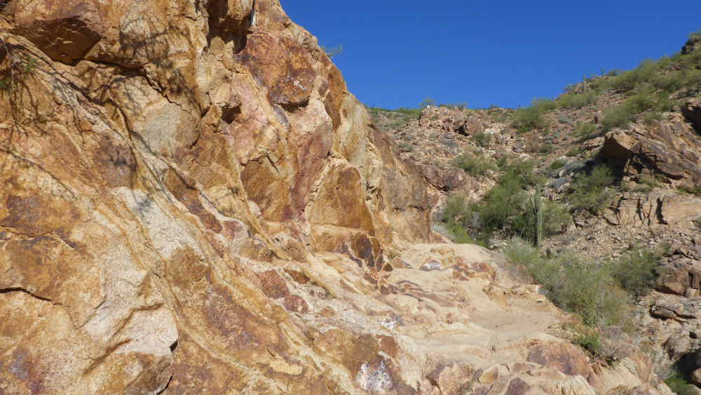
Here the trail gets a lot steeper and more rocky
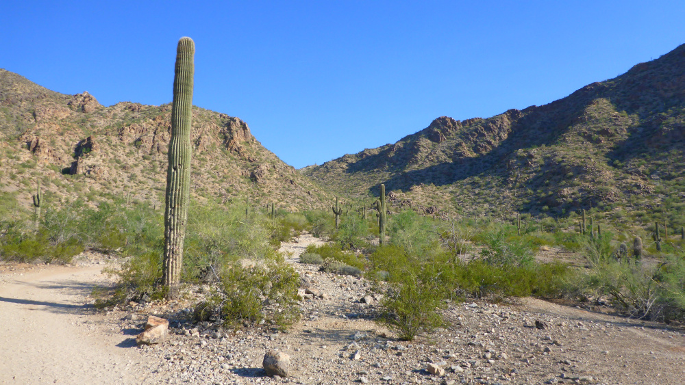
Plenty of Saguaro cactus along the way
Lots of boulders and steep hiking as well.
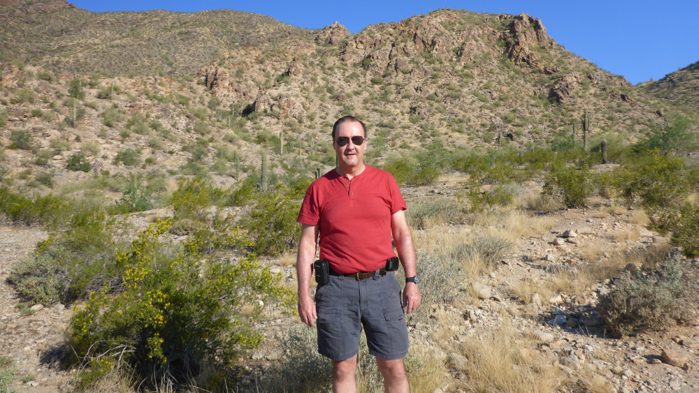
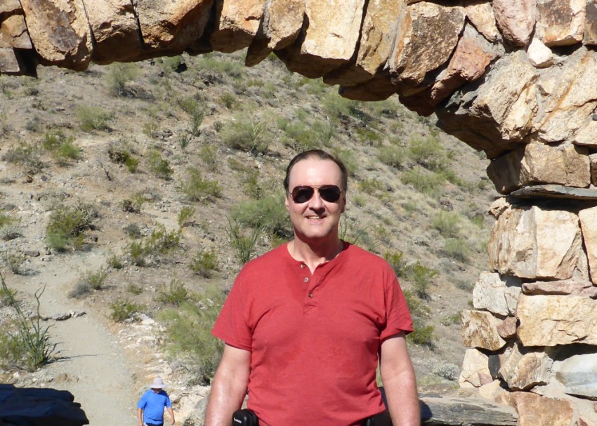
A nice fellow hiker snapped this photo of me on my way up the trail.
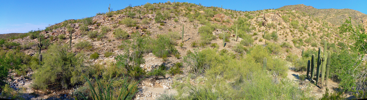
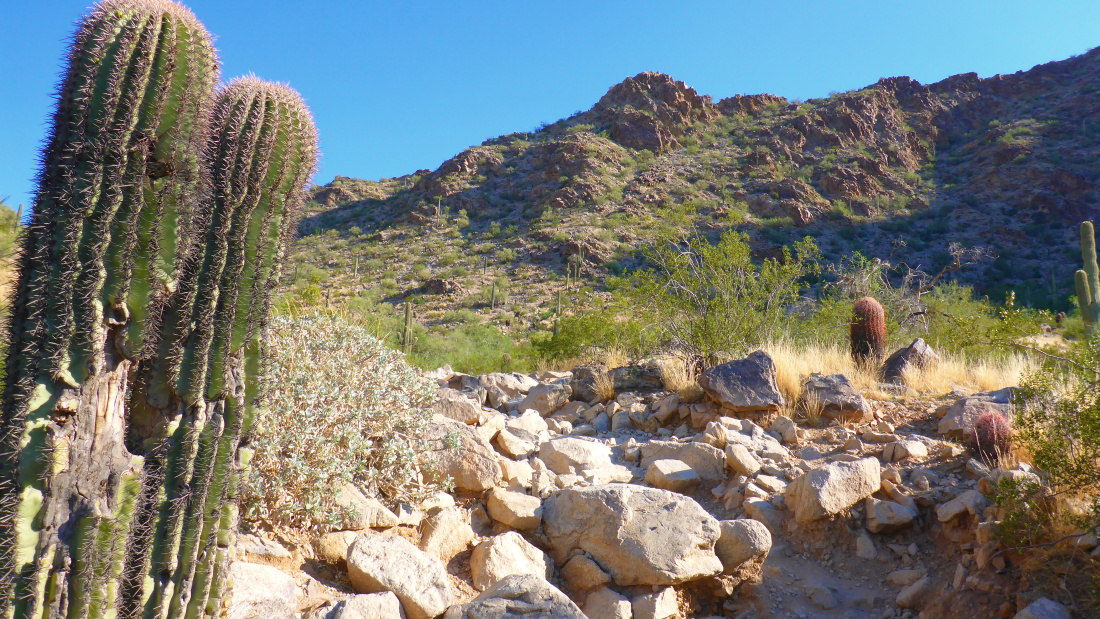
Plenty of desert foliage along the trail to reach Telegraph Pass.
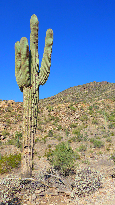
One of the many saguaro cactus sentinals standing guard over the trail.
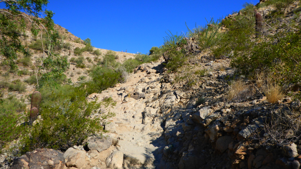
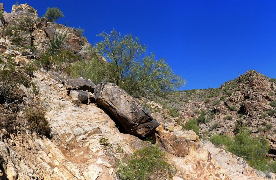
This is the steepest part of the hike to the top of Telegraph Pass.
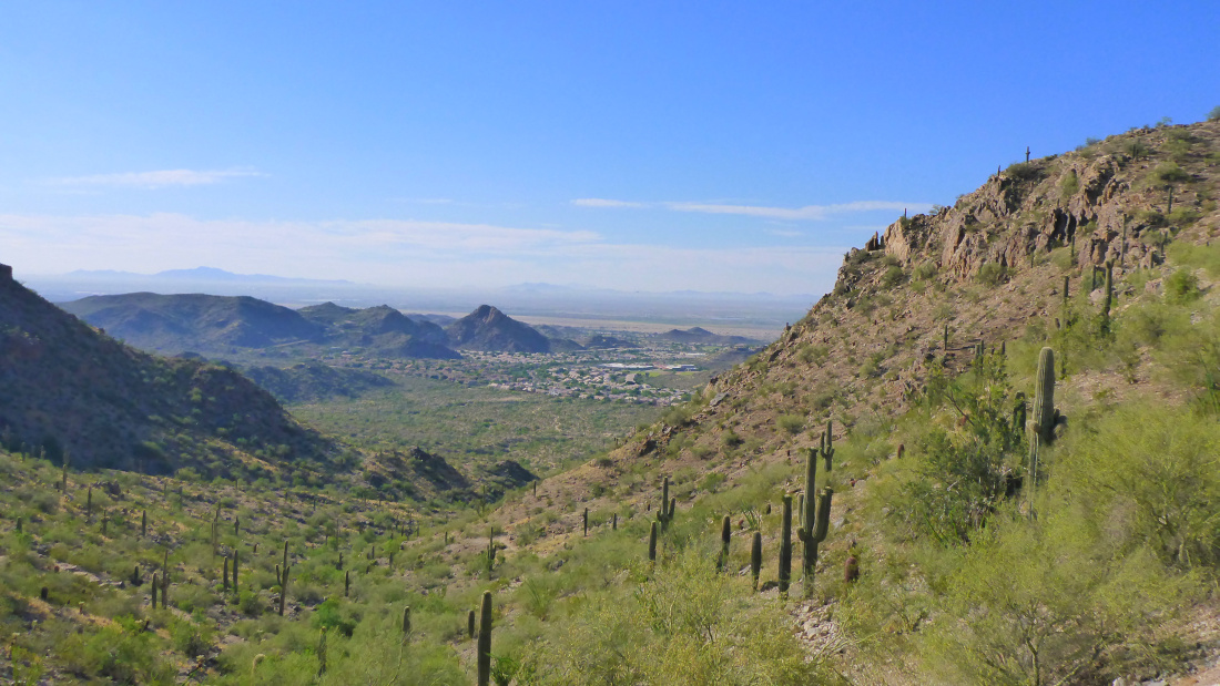
The view looking down from the trail up Telegraph Pass.
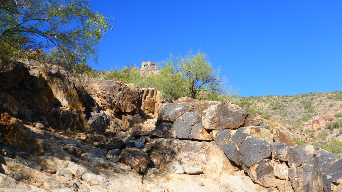
There's the view looking up at the stone building on top of Telegraph Pass.
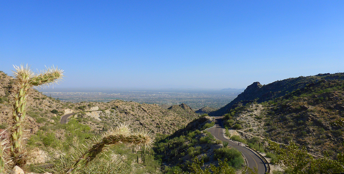
This is the road on top of South Mountain. The trail goes along the side of this road for a short distance.
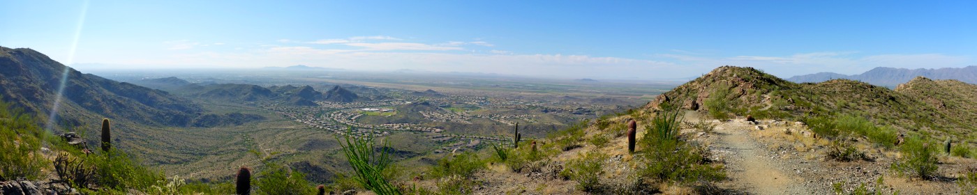
Panorama view looking at the town of Ahwatukee
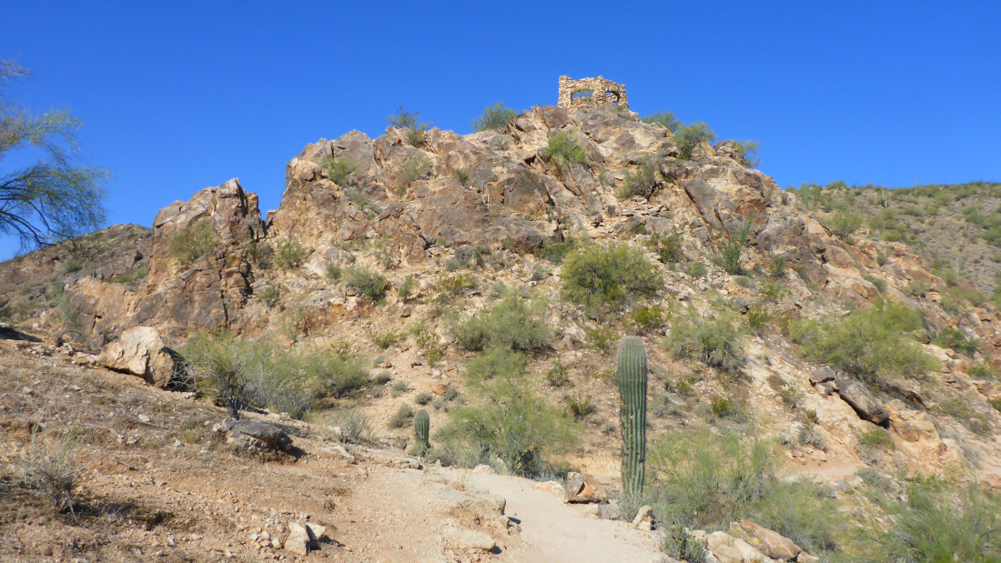
There is the rock building at the top of Telegraph Pass
Climbing along the rocks to get to the rock building top of Telegraph Pass
There I am in the rock building at the top of Telegraph Pass.
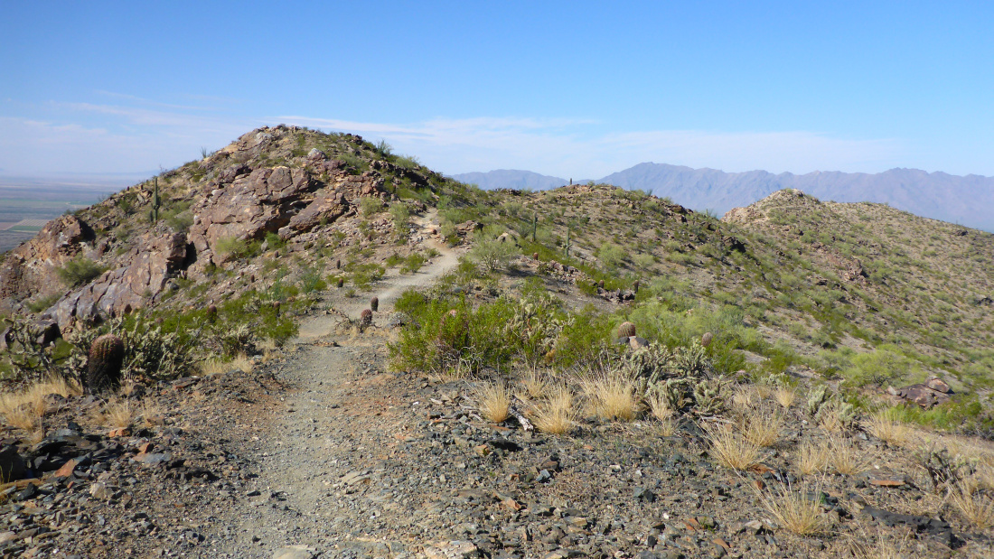
Here is the Pyramid Trail which runs along the top ridge of the South Mountains
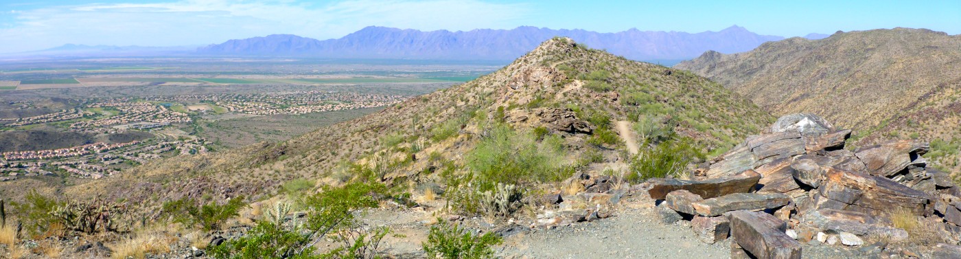
Panorama from the top of Telegraph Pass

Another panorama view from the top of Telegraph Pass
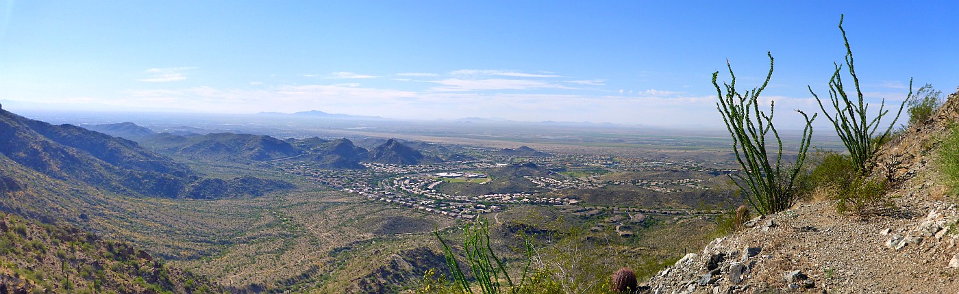
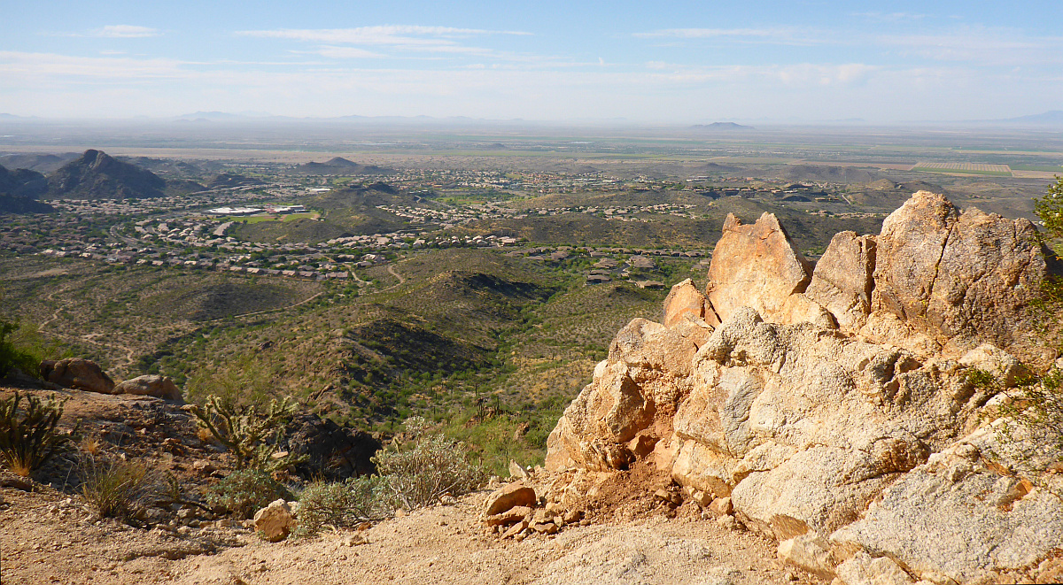
Panorama view looking Southeast toward Ahwatukee which is
a suburb of Phoenix
(Click Image For 3D Panorama Viewer)
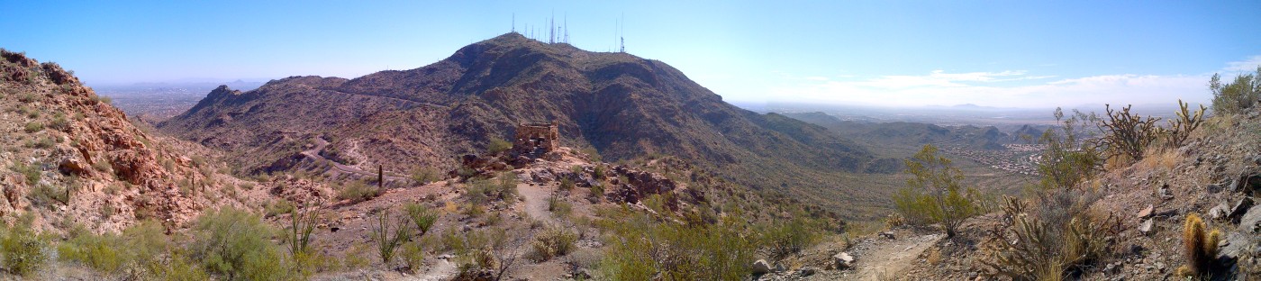
The view looking South of Phoenix toward the Estrella Mountains.
Mountains are off limits to Americans since they are part of the Gila River Indian Reservation.
The highest peak on the right is Sierra Estrella at 4512 ft.
Panorama view from the top of Telegraph Pass
(Click Image For 3D Panorama Viewer)