Elevation = 1794 ft

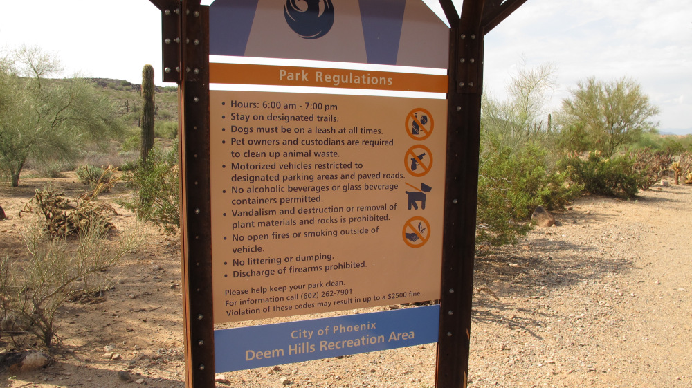
There's the park regulations sign for Deem Hills Recreation Area.
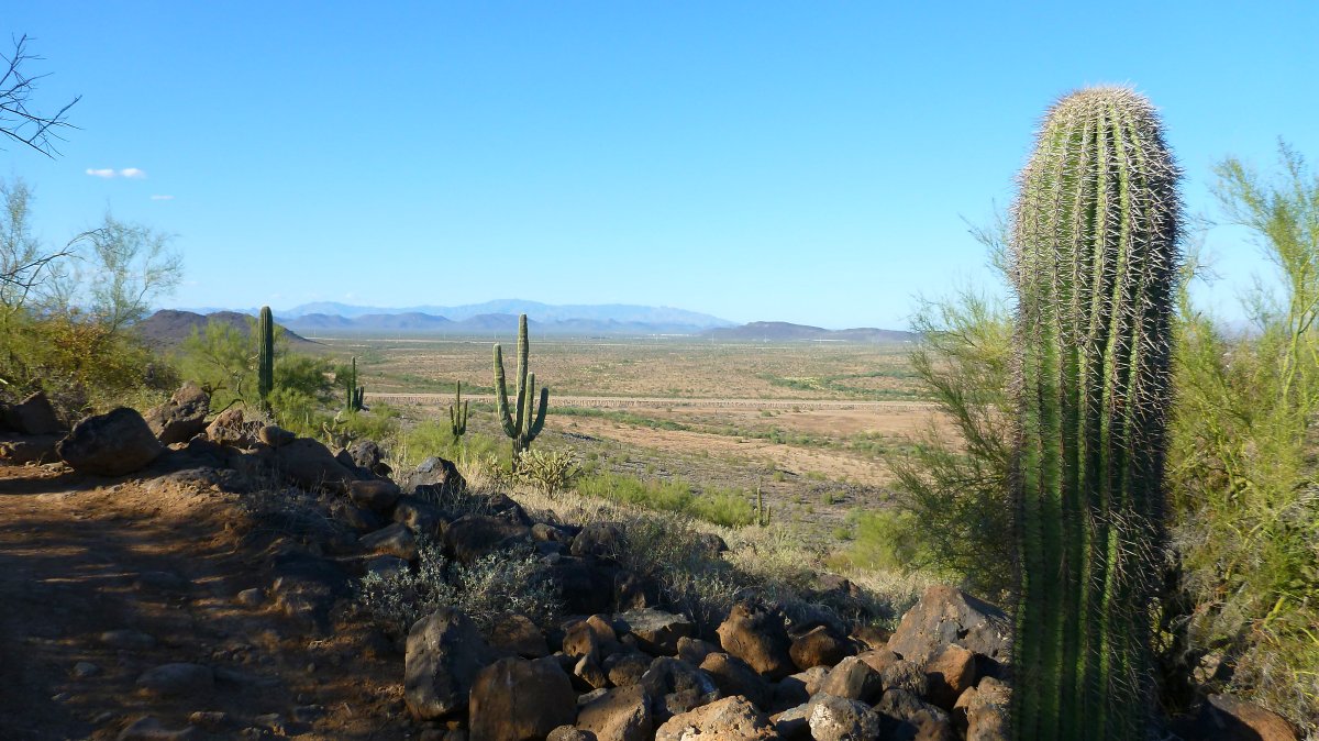
There's a view from the trail just a short way from the start.
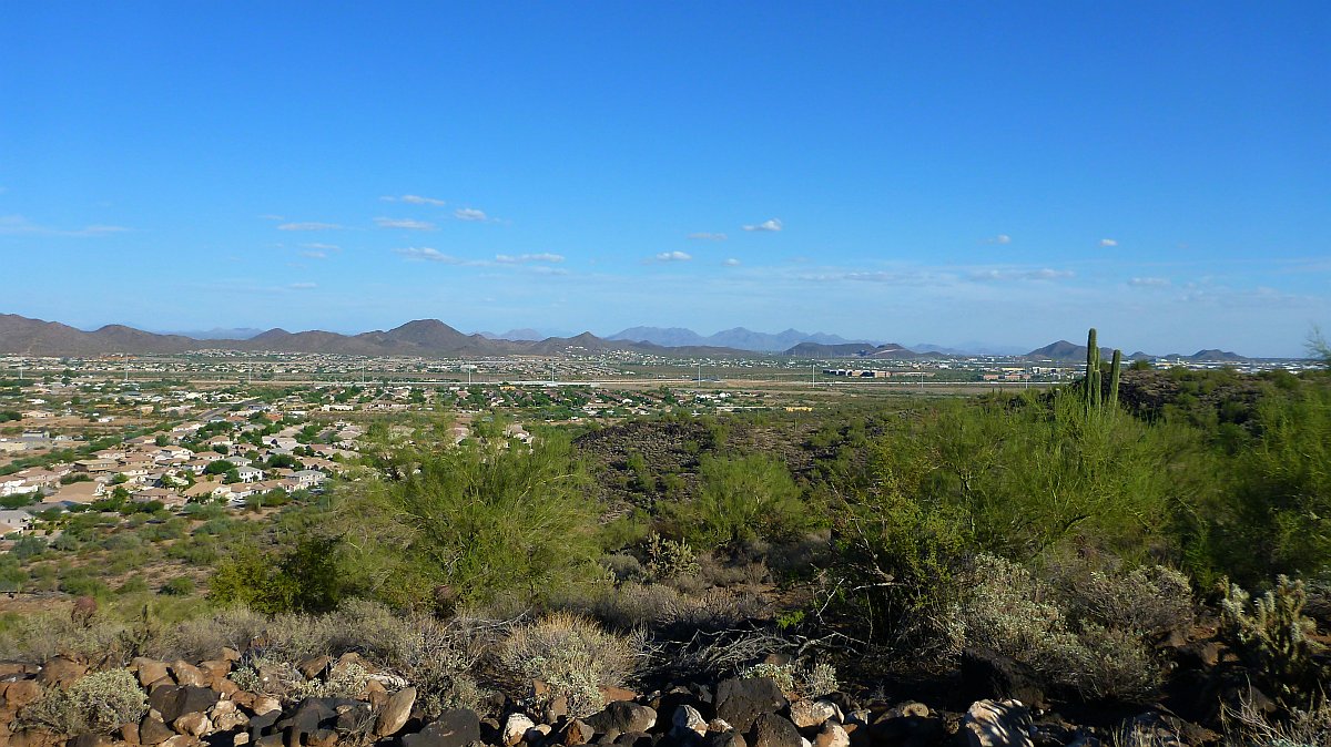
View looking East from the first ridge. Interstate 17 is visible running left to right.
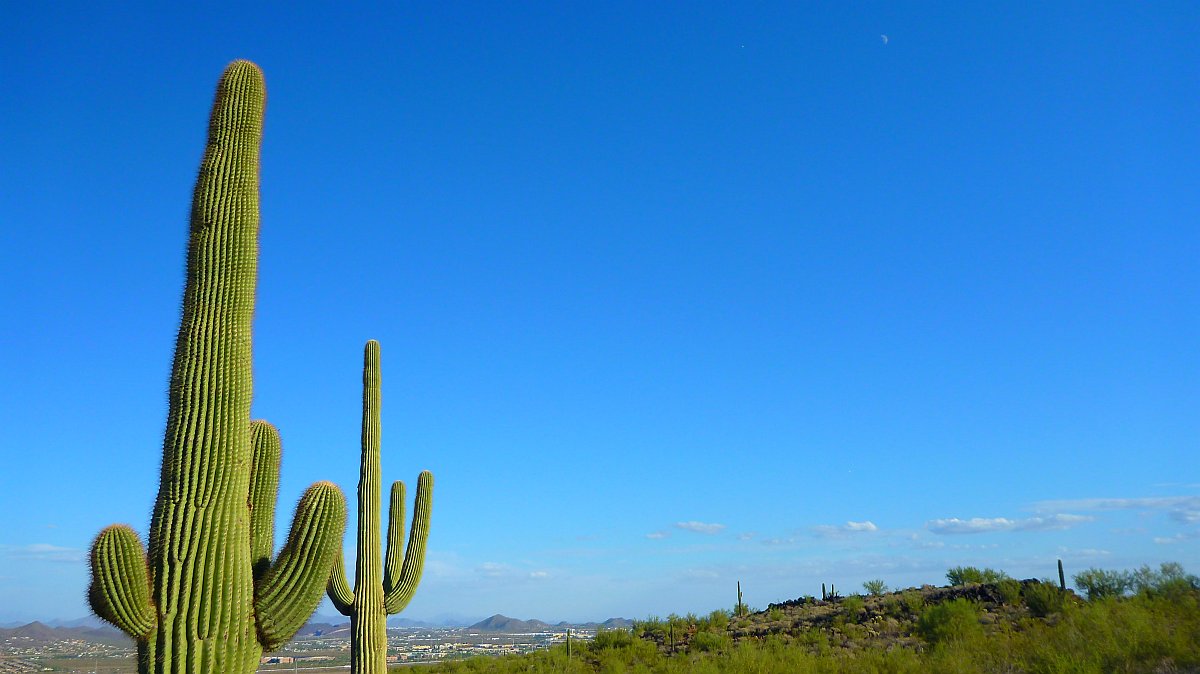
There are plenty of saguaro cacti out here.
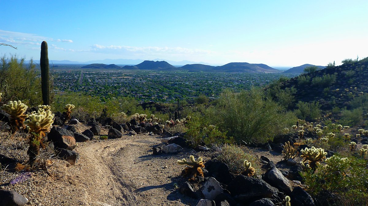
View looking South on the way up the the highest ridge.
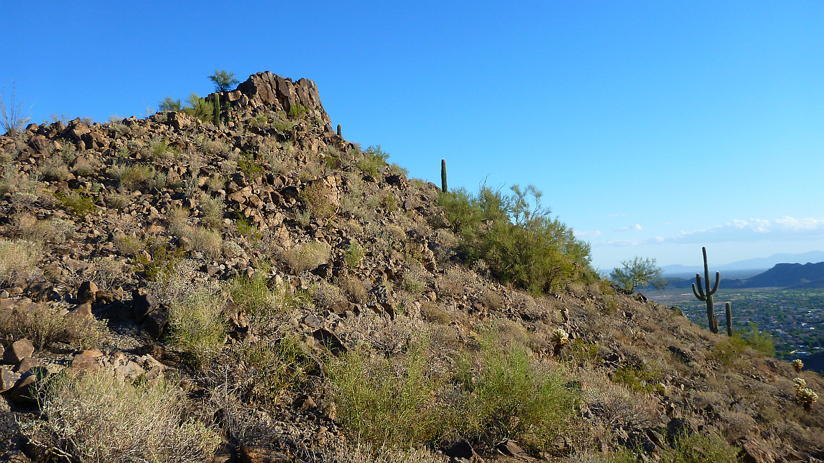
One of the smaller peaks that you pass on your way to the top.
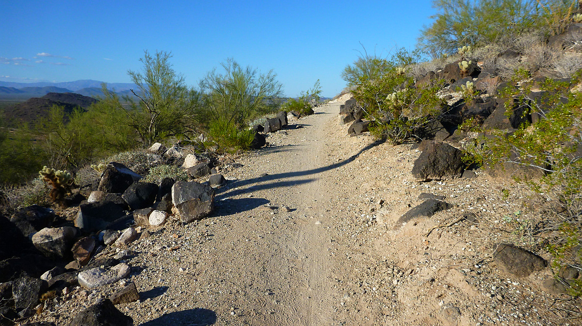
Most of the trail is easy hiking just like this.
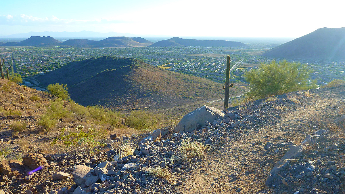
There's the view looking Southwest as I get very close to the top.
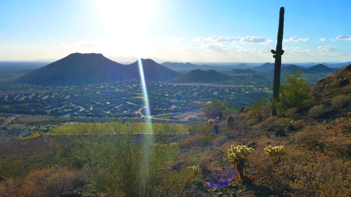
Another view looking Southwest as I get very close to the top.
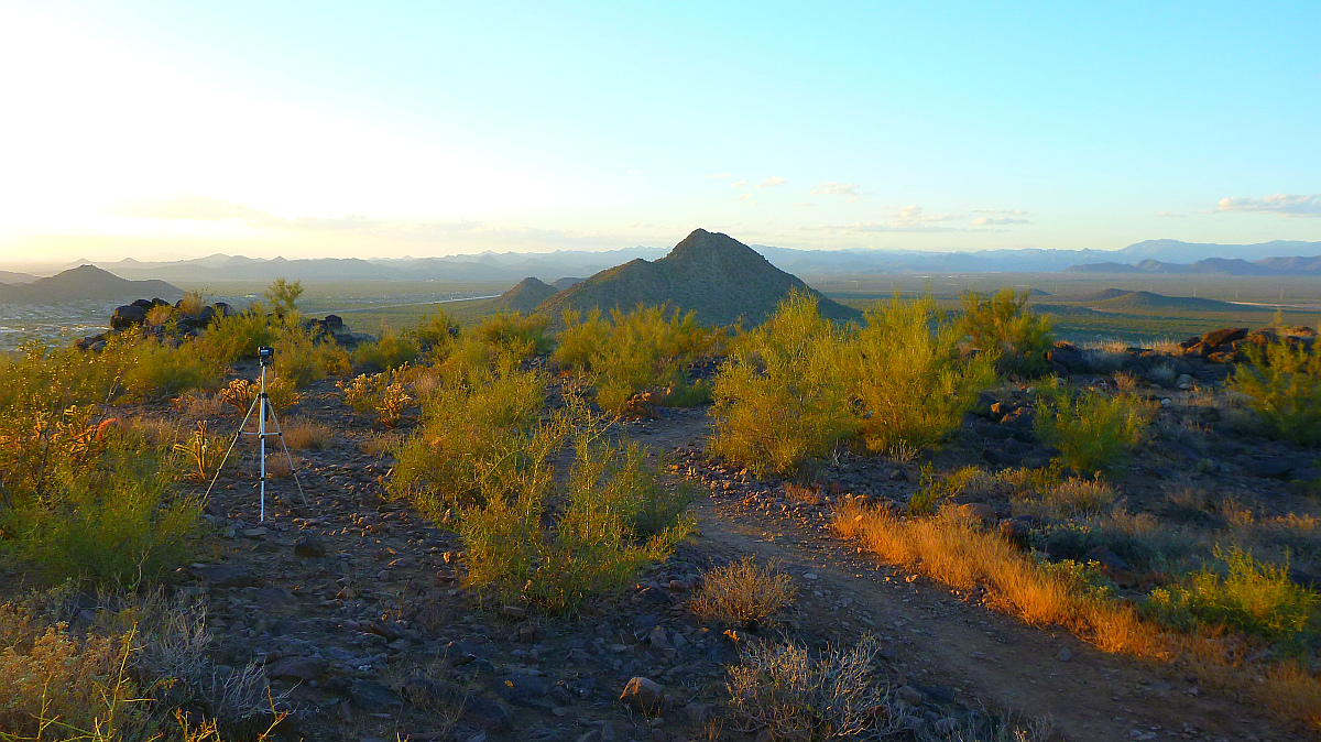
There's the view looking West from the very top with my tripod setup for
timelapse photos of the sunset.
Pyramid peak is in the forground..
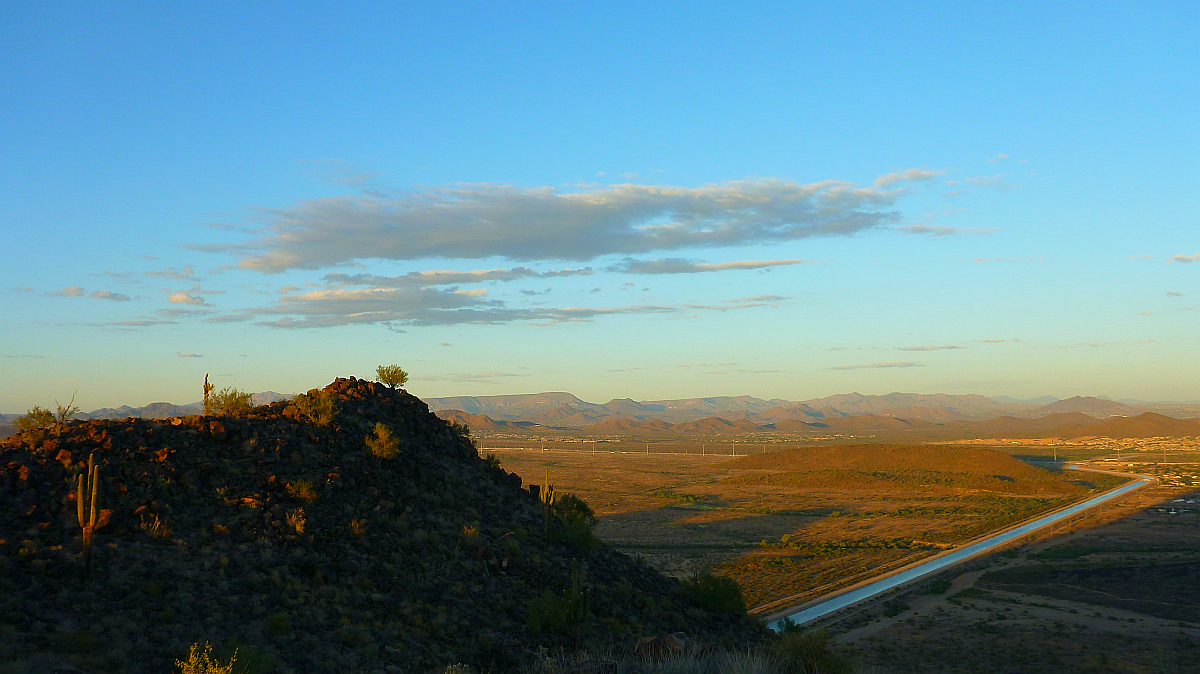
View looking Northeast from the top.
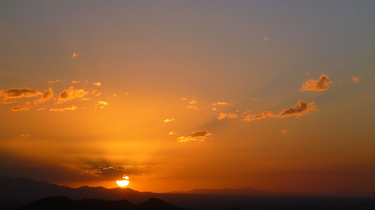
There's the sun going down as viewed from the top of Deem Hills Park.
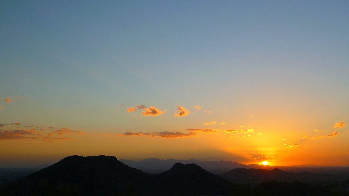
Another sunset view with Ludden mountain in the foreground.
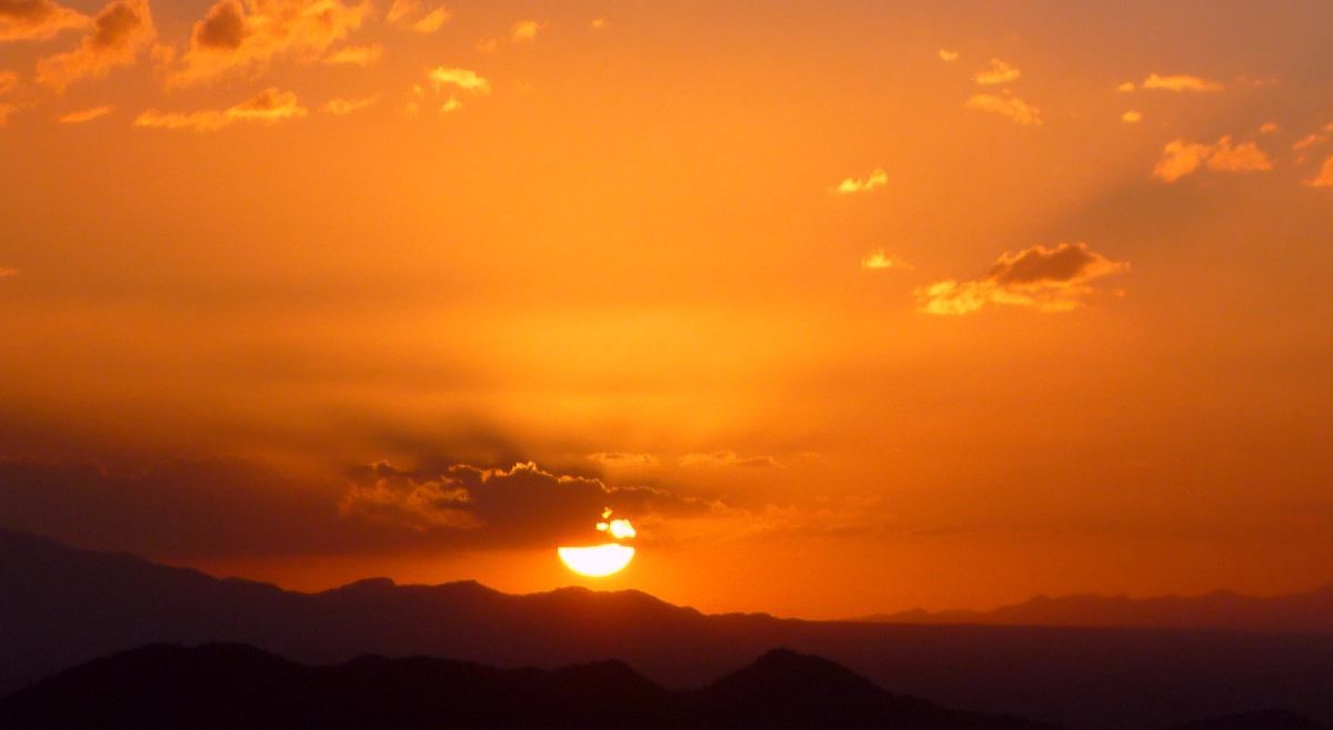
Sunset telephoto shot.
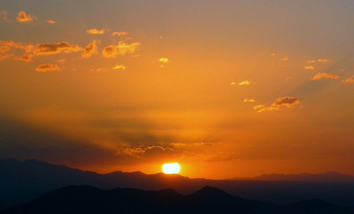
The sun is starting to go below the horizon now.
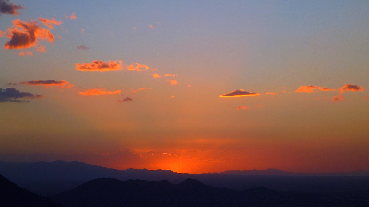
The sun has departed from the sky and will hopefully return again to light the next day.
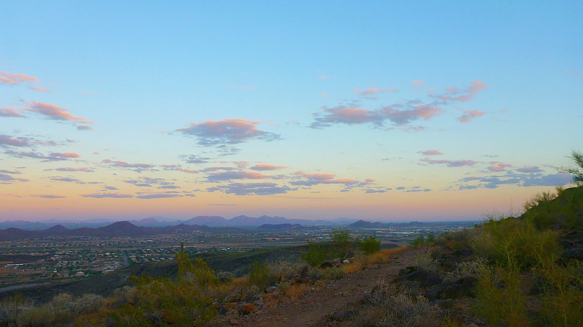
Heading back down the trail before it gets too dark.
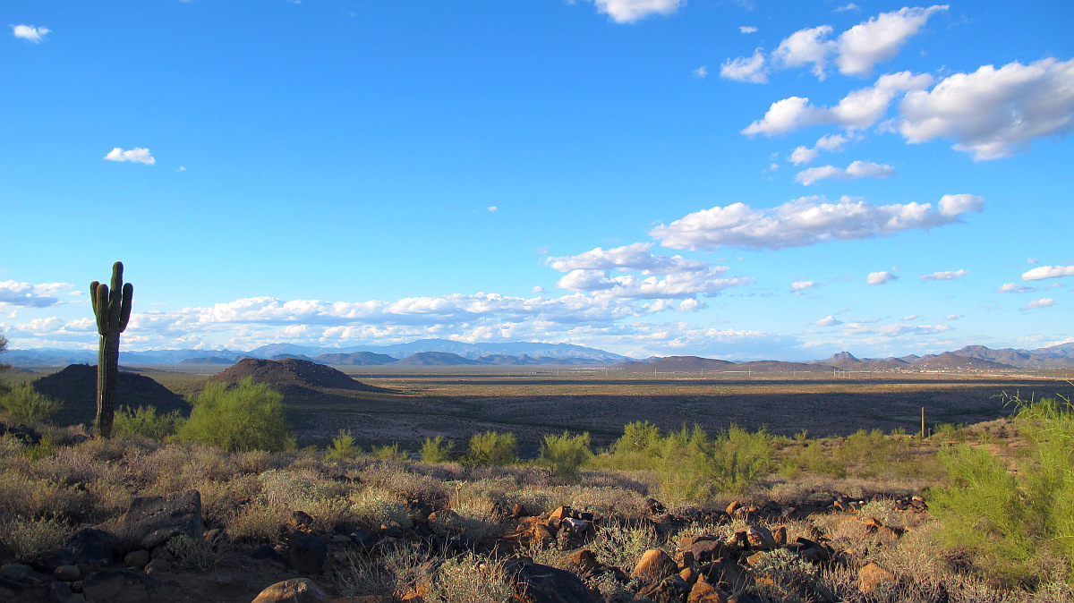
Here is the view looking north on a rare day with lots of clouds.
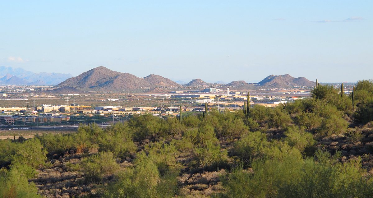
There's a view looking Southeast at the Deerfield Airport from Deem Hills Park.
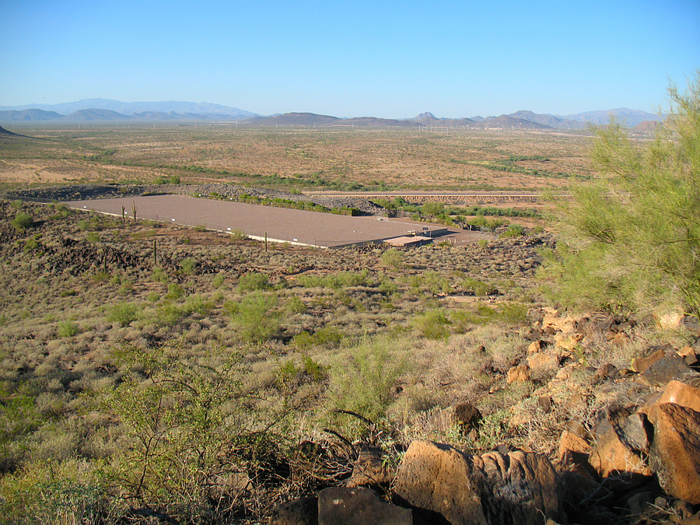
There's the huge water tank on the lower ridge of Deem Hills
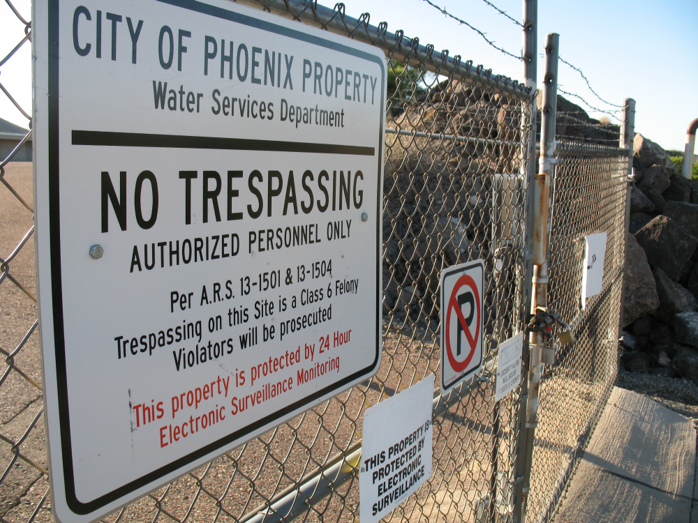
Looks like that water tank is off limits.
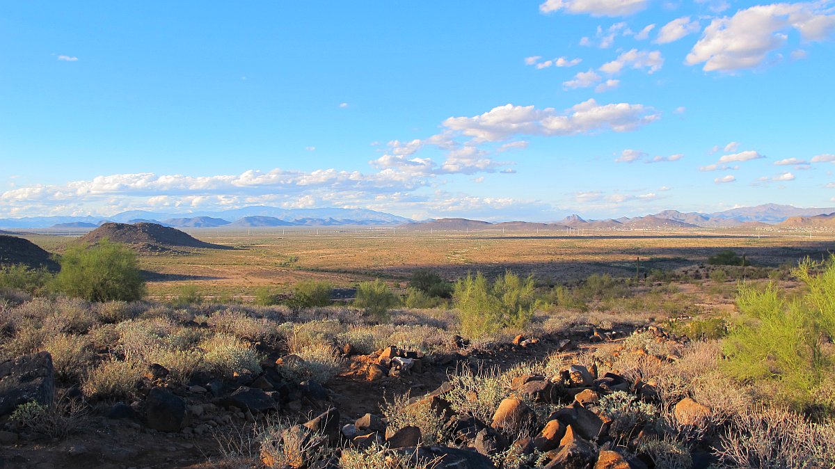
North Phoenix skyline looking north from Deem Hills.
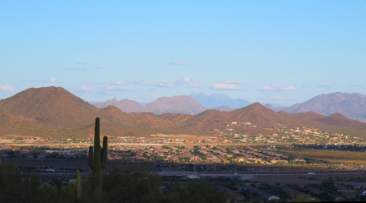
North Phoenix skyline looking East from Deem Hills.
Panorama image from the highest point in Deem Hills Park. (Click on photo for Hi Res 3D Applet)
Another panorama photo from the trail on the way to the top. (Click on photo for Hi Res 3D Applet)
Panorama photo from the top of Deem Hills. (Click on photo for Hi Res 3D Applet)
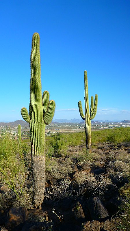
The magnificent saguaro cactus is native to the Sonoran desert.