April 15, 2012
Elevation = 2149 ft

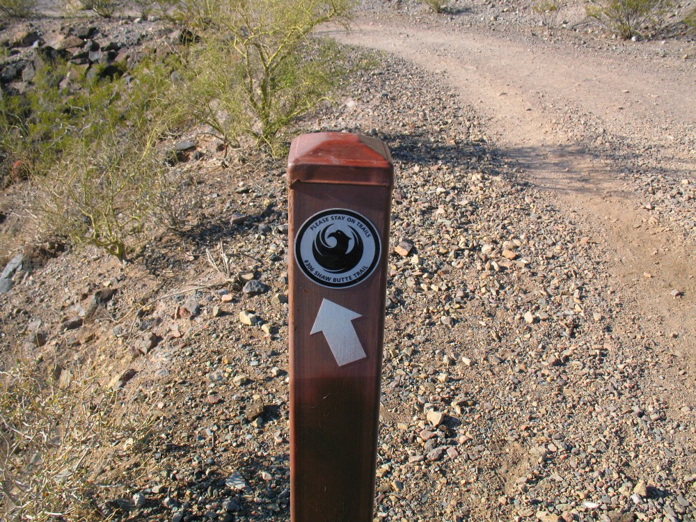
Trail marker for Shaw Butte Trail #306
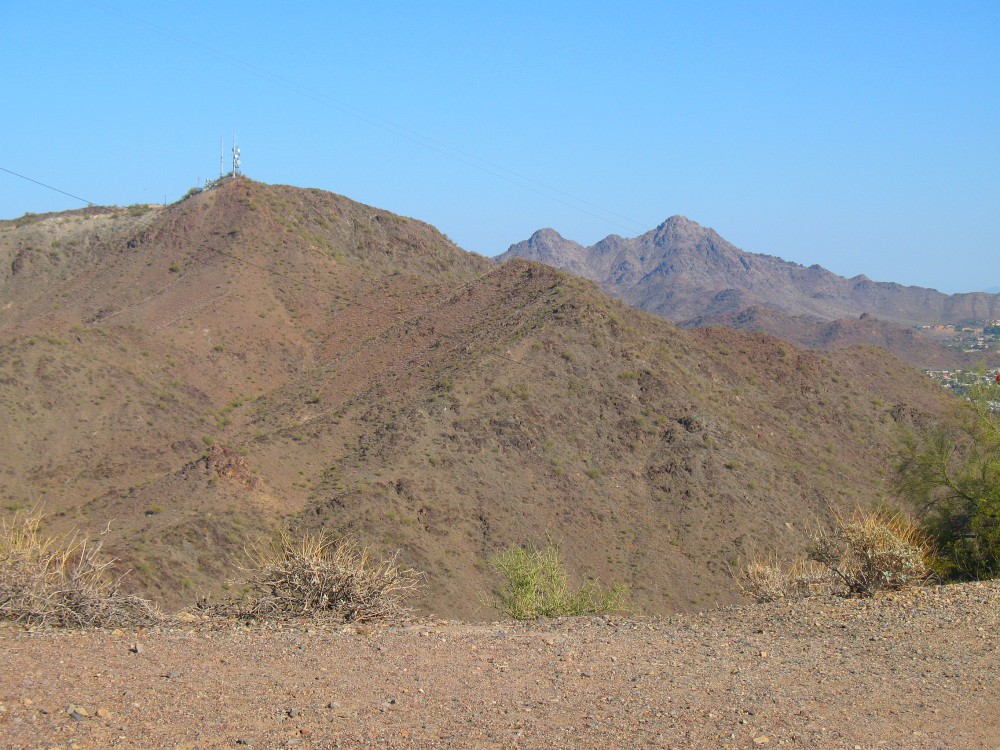
View of North Mountain (with antennas) which is right beside Shaw Butte Mountain.
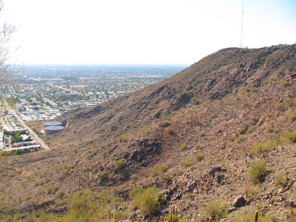
View looking west from half way up the mountain.
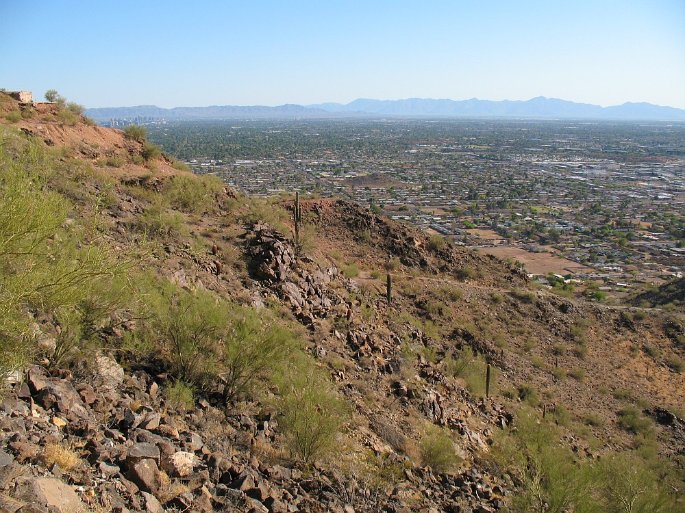
View looking south from half way up the mountain.
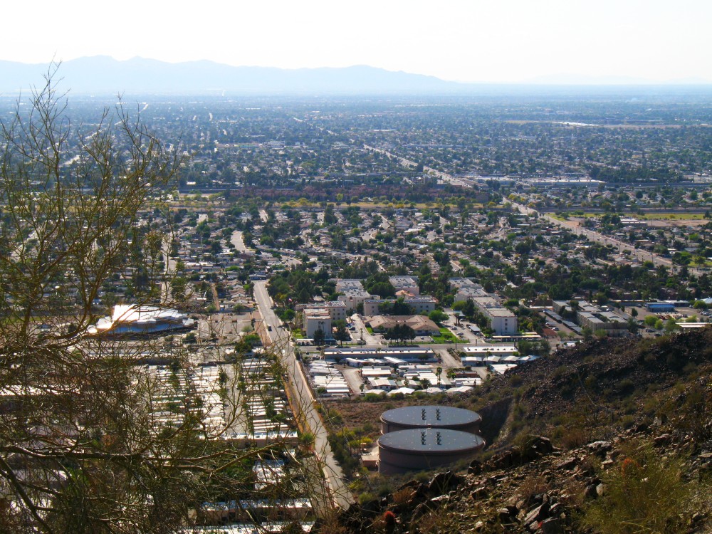
Another view looking west from half way up the mountain.
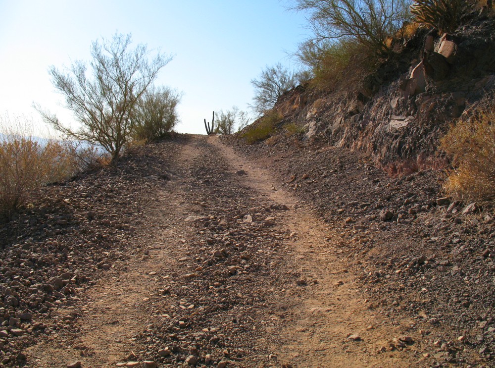
View of the jeep trail that leads to the top.
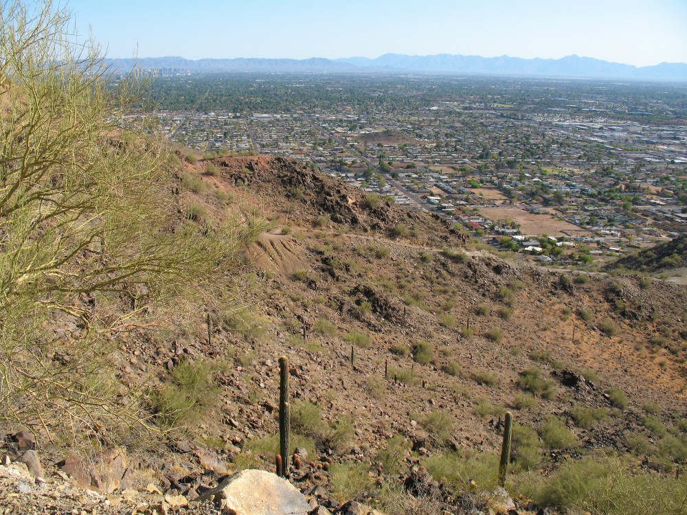
View looking south from the jeep trail getting closer to the summit.
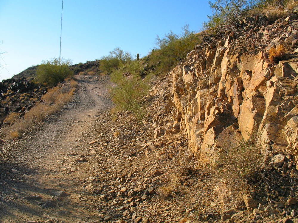
View toward the smaller west summit with only one antenna.

View looking up toward the east summit which is where I am headed.
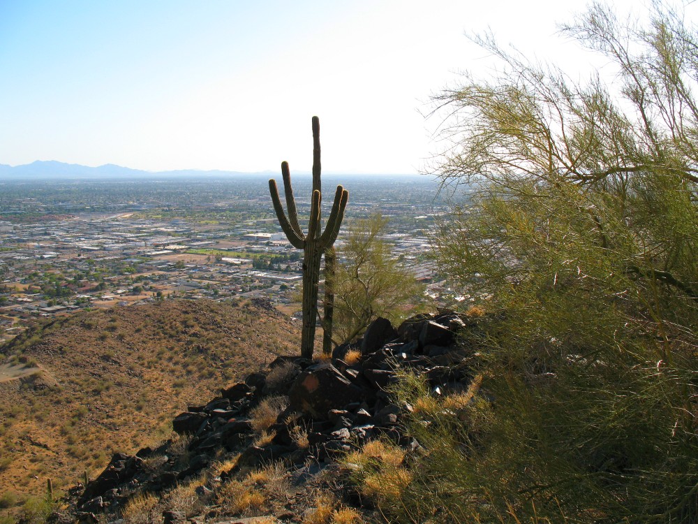
View looking south west over Phoenix.

View looking up toward the east summit with lots of antennas which is where I am headed.
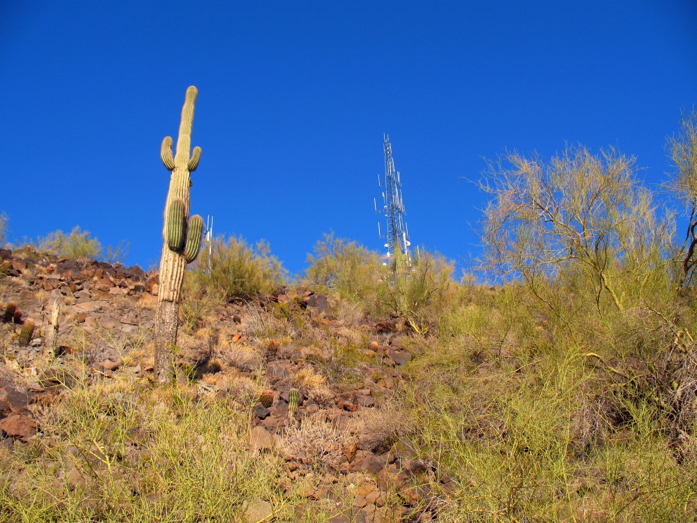
Natural antenna on the left and man-made antenna on the right.
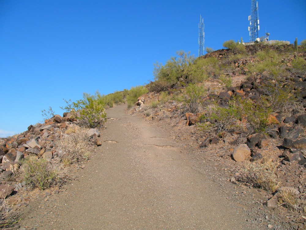
The final steep road to the top.
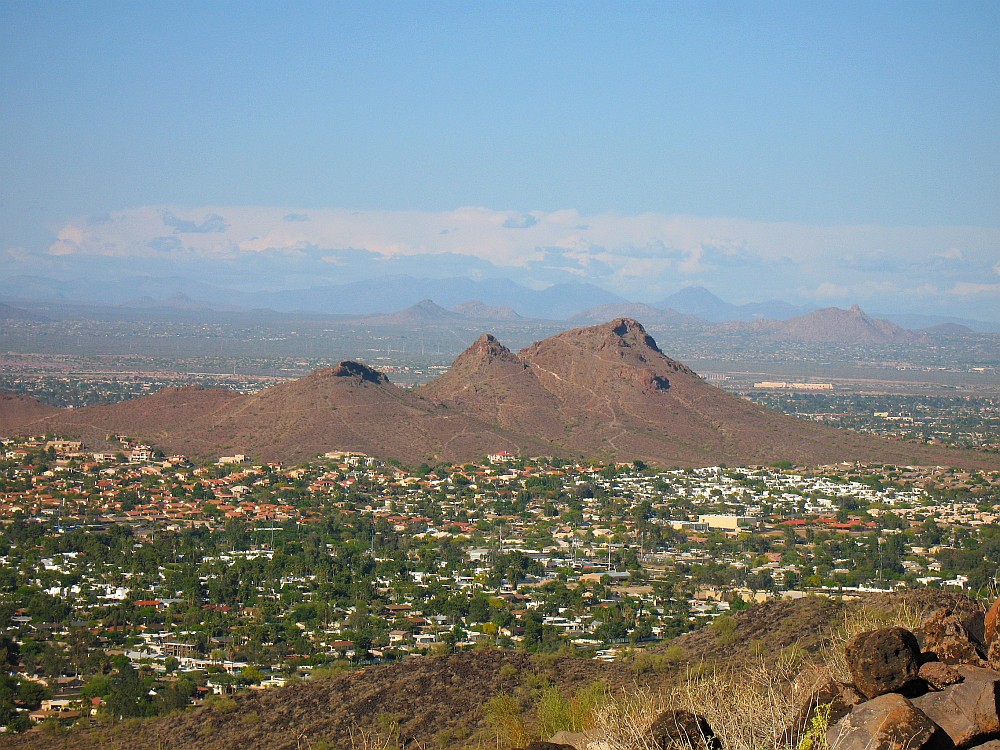
View looking north east at Lookout Mountain with its three peaks.

View looking north with Deer Valley airport in the distance
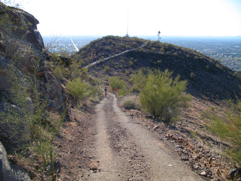
View looking west toward the smaller summit with only one tall antenna.
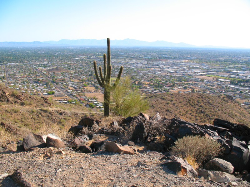
Another kind of tall antenna with lots of sharp thorns all over it.
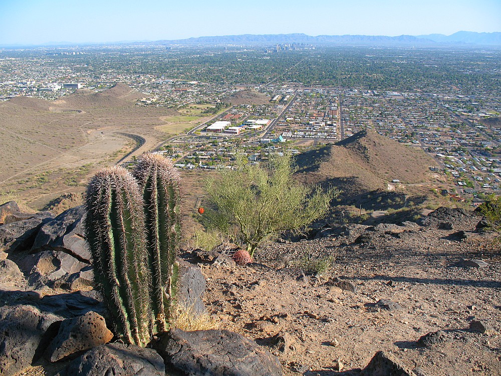
This is the view from the very top and highest point on Shaw Butte looking south toward downtown Phoenix.
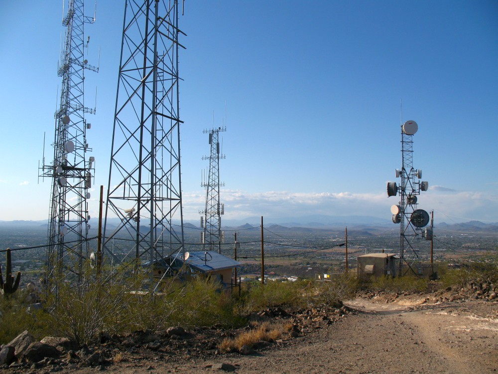
The main summit has lots of antennas.
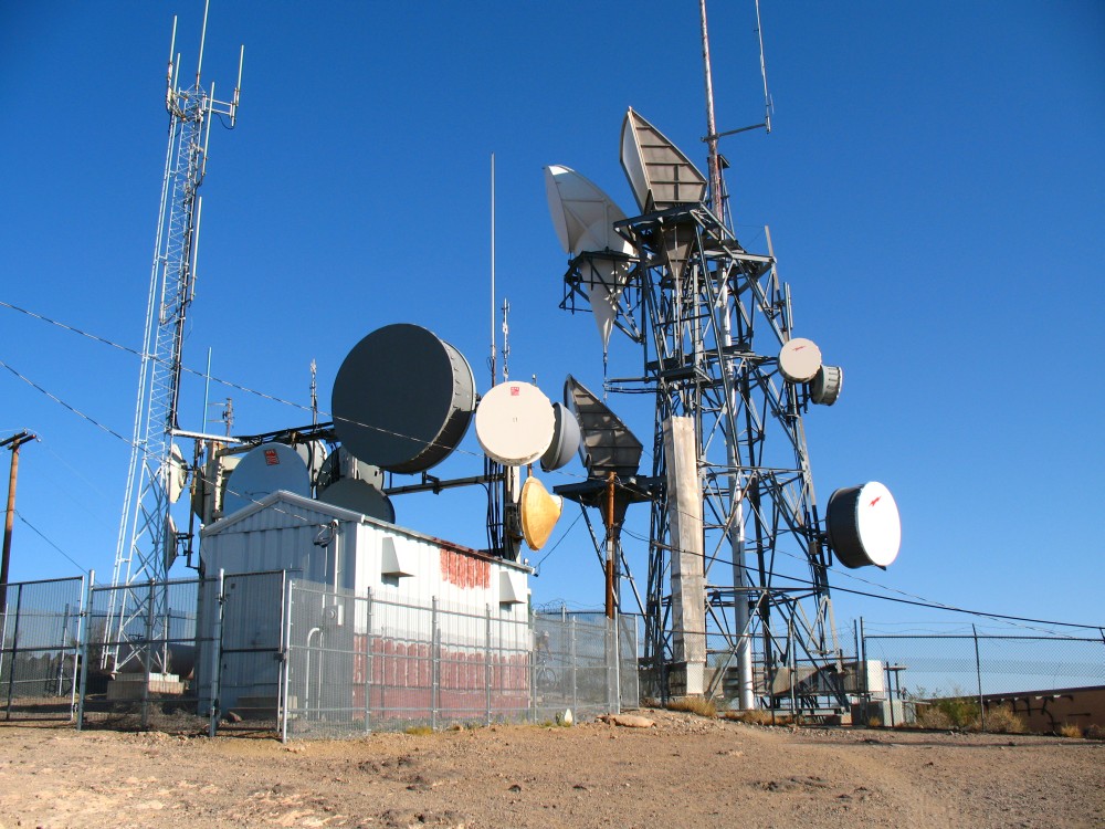
More antennas on the summit of Shaw Butte Mountain
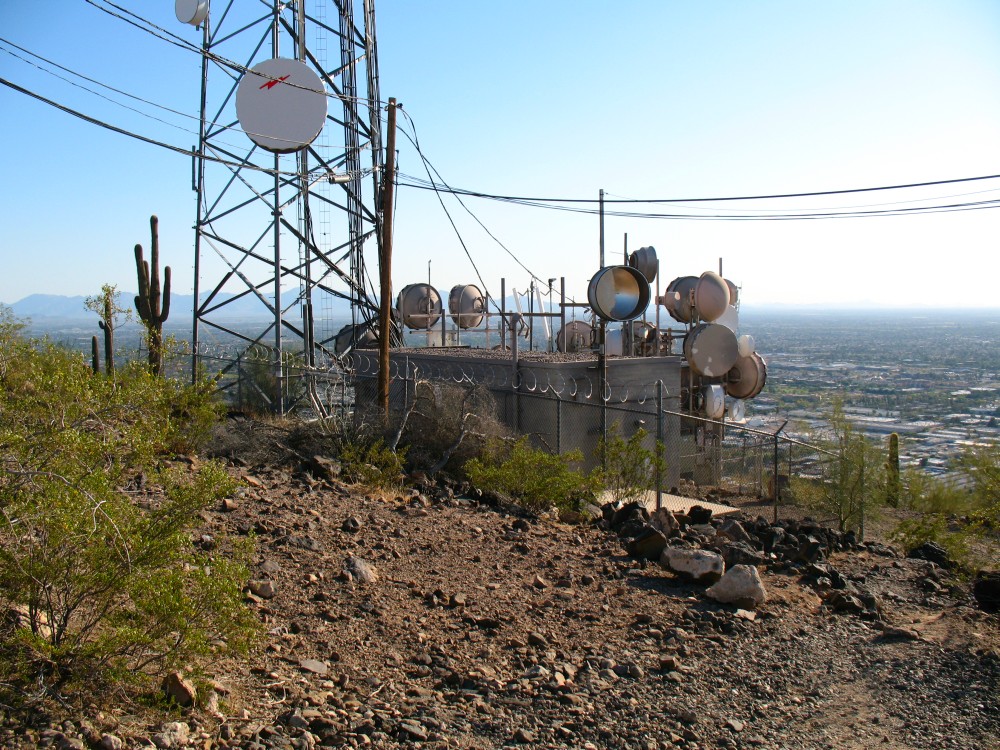
Lots of microwave antennas on the summit of Shaw Butte Mountain
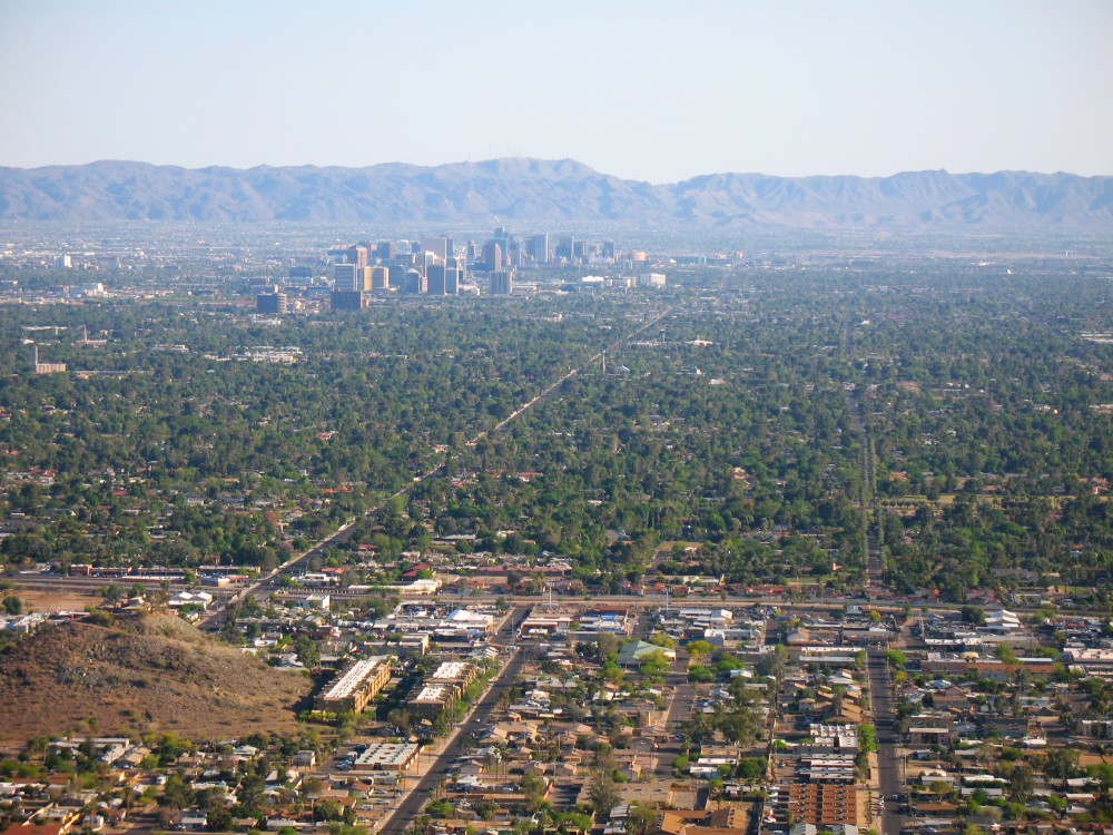
Telephoto view looking south at the Phoenix skyline
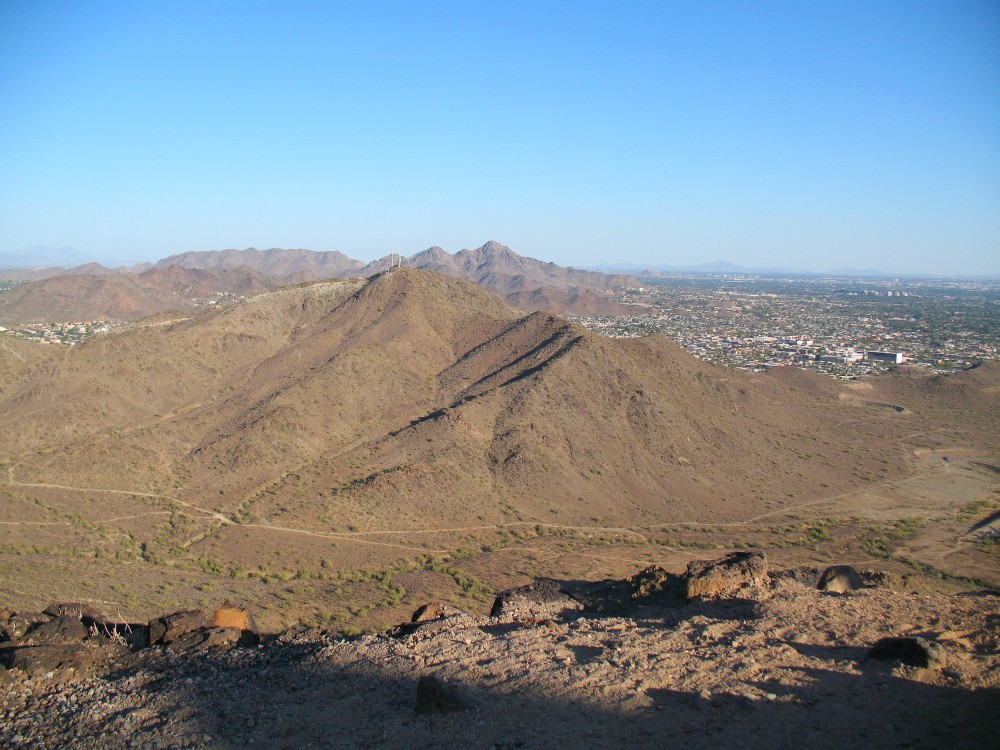
View looking east at North Mountain (with antennas) and Piestwa Peak in background.
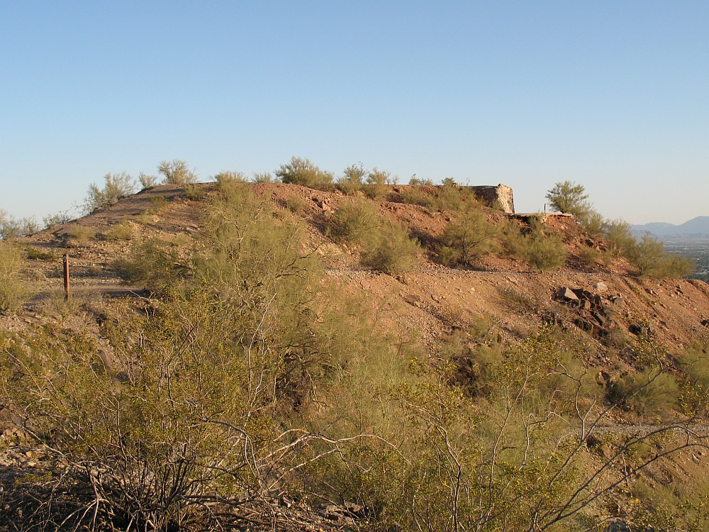
Remains of an old restaurant on the old road to the top.

View looking south west on the way down.
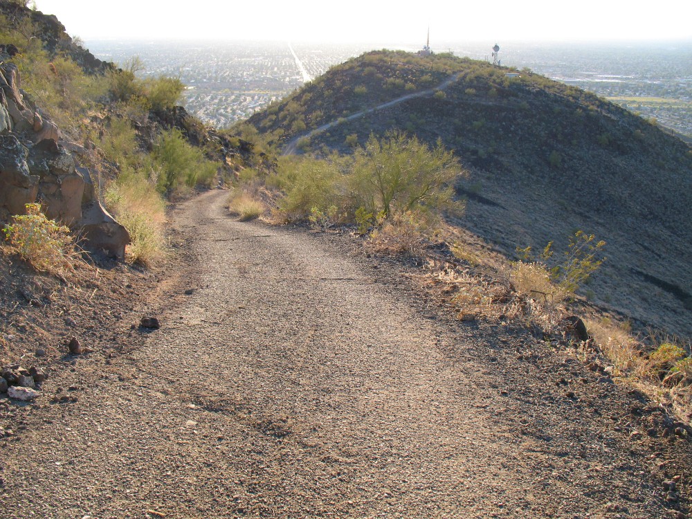
View looking west on the way down.
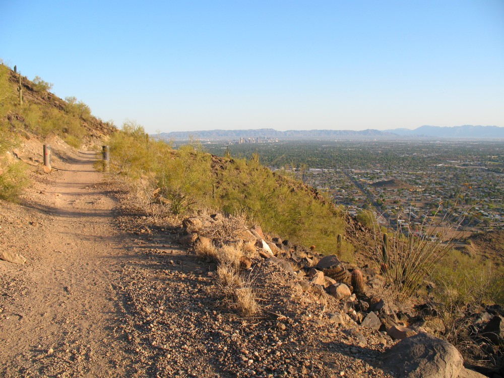
View looking south on the way down.
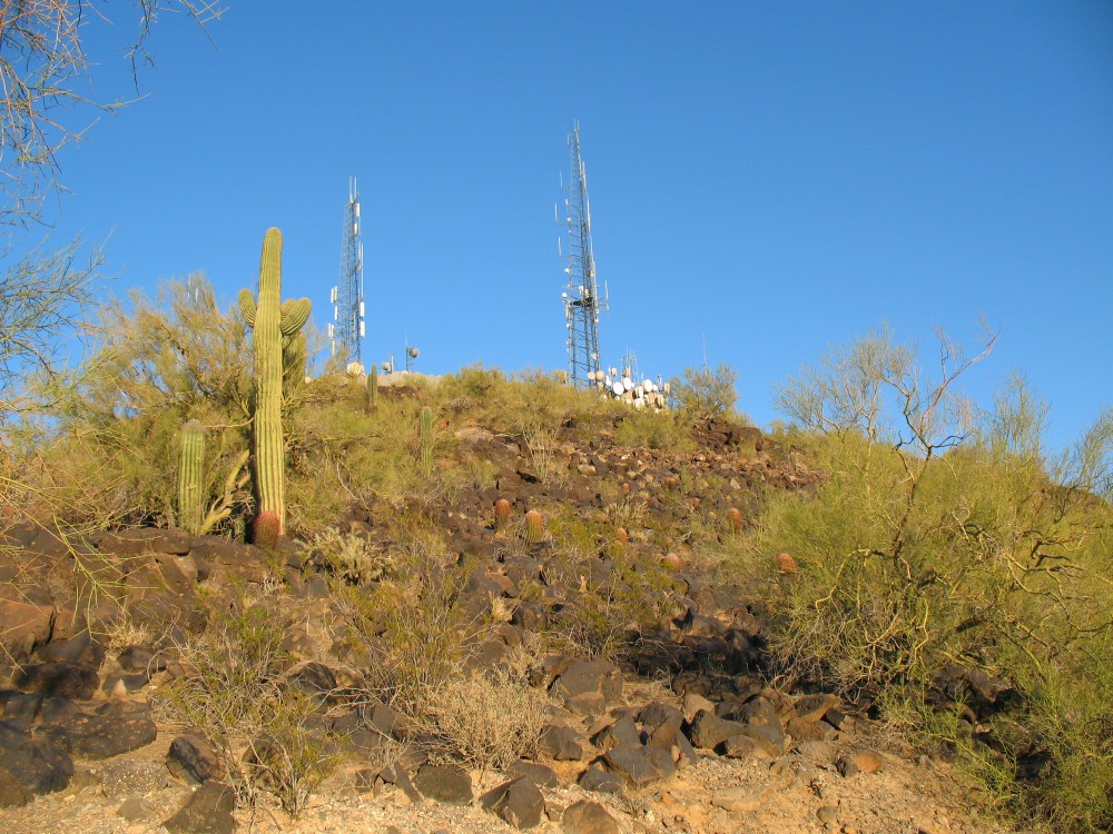
View looking back up at the summit.
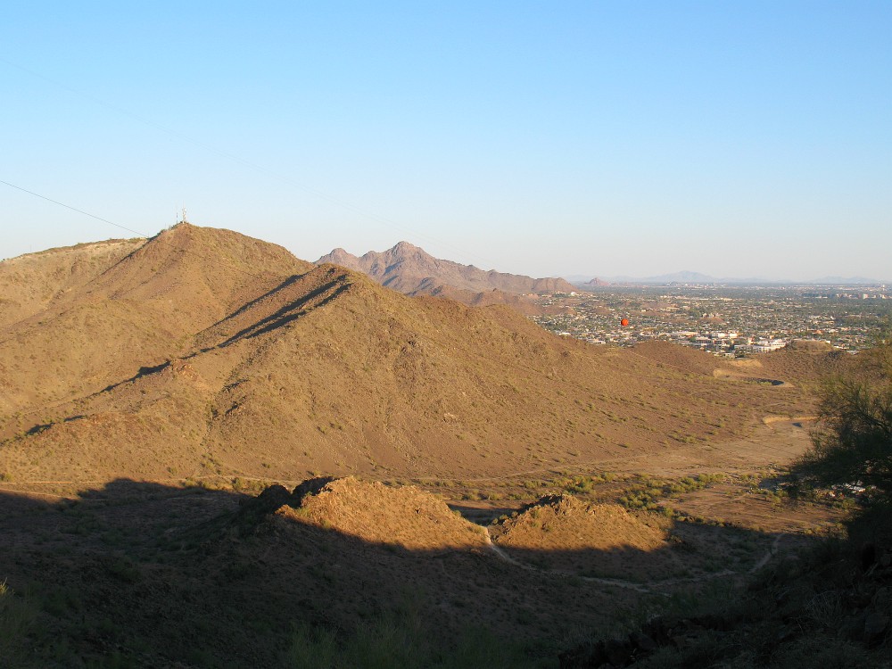
Another view looking east toward North Mountain and Piestwa Peak

There is one tired and out-of-shape hiker near the top.