January 4, 2013
Lots of massive boulders are piled up everywhere.
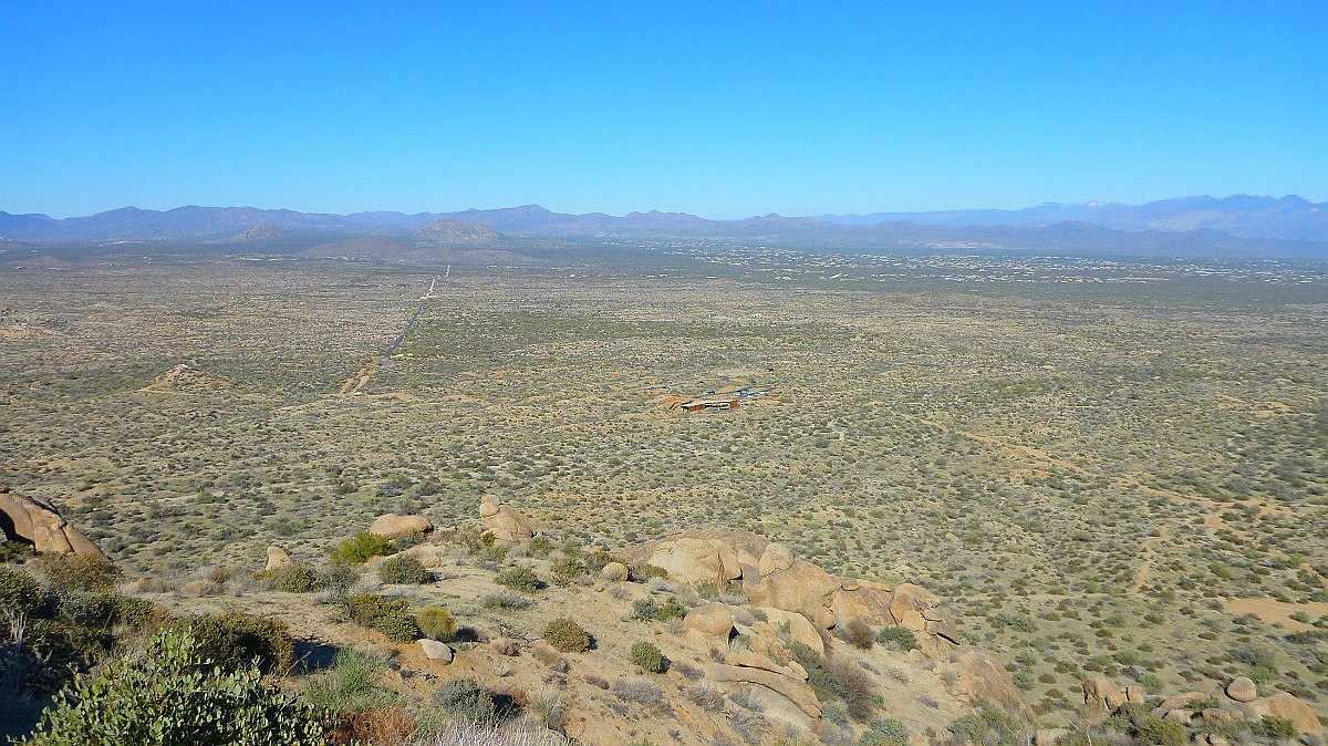
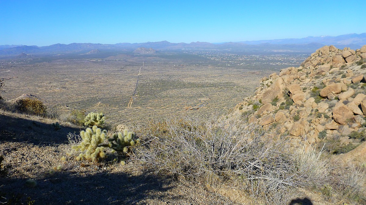
This is the view from half way up the mountain. The trailhead shelter is getting smaller in the distance.
There is the view of Tom's Thumb from half way up the mountain. Still a long way to go.
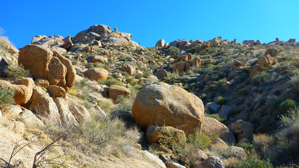
More spectacular boulder fields line the trail on both sides.
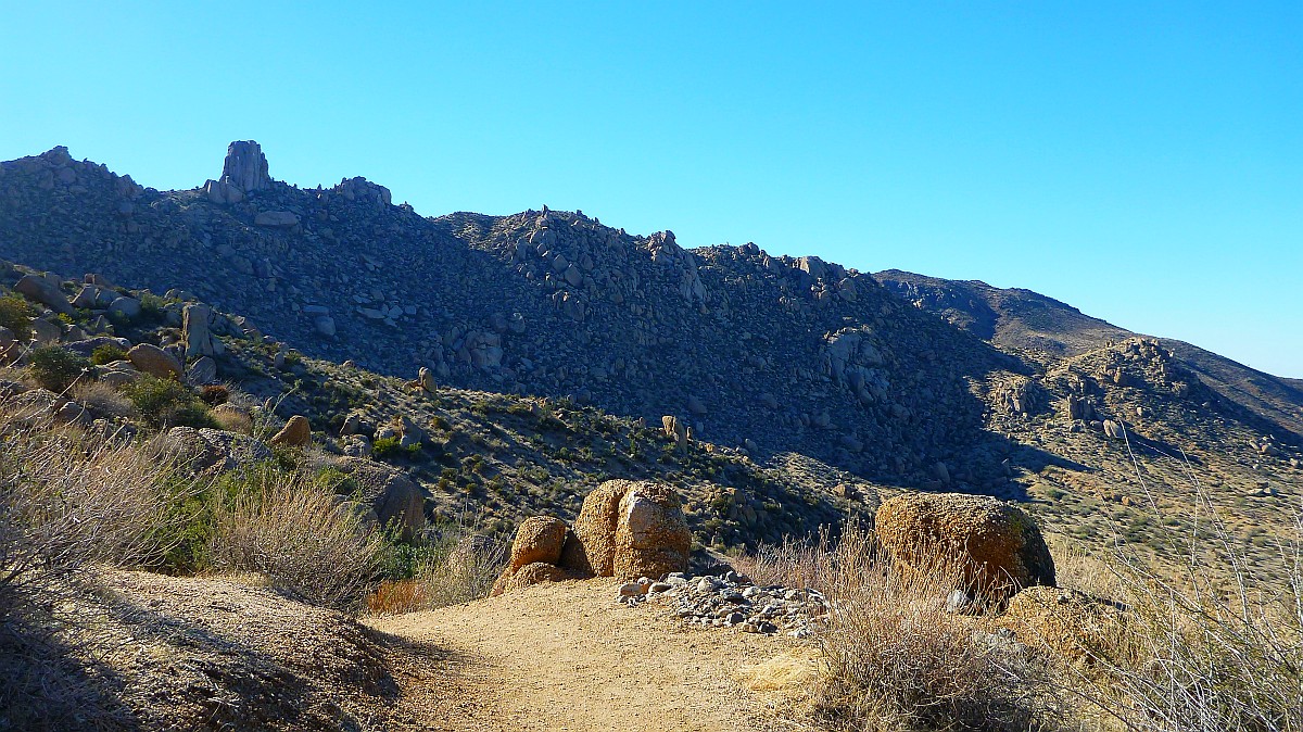
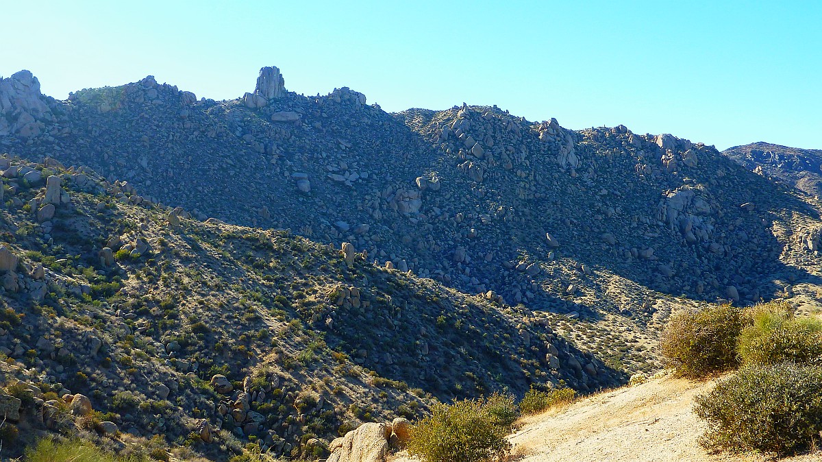
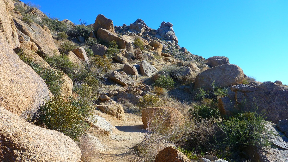
Tom's Thumb is beckoning in the distance.
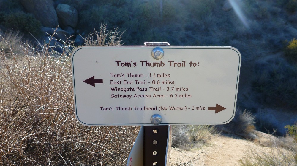
This sign marks the half way point. Elevation climb at this point is about 600 ft
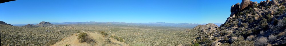
Here is a multi photo panorama
view.
Click on image for 3D viewer (Java
Required)
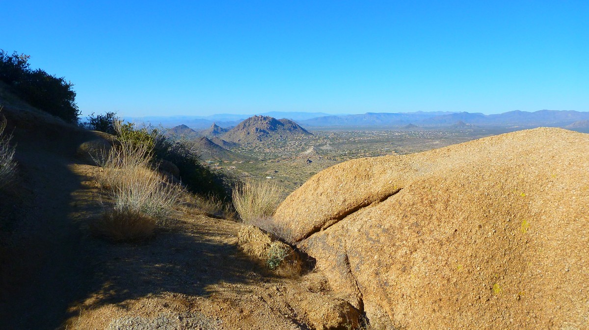
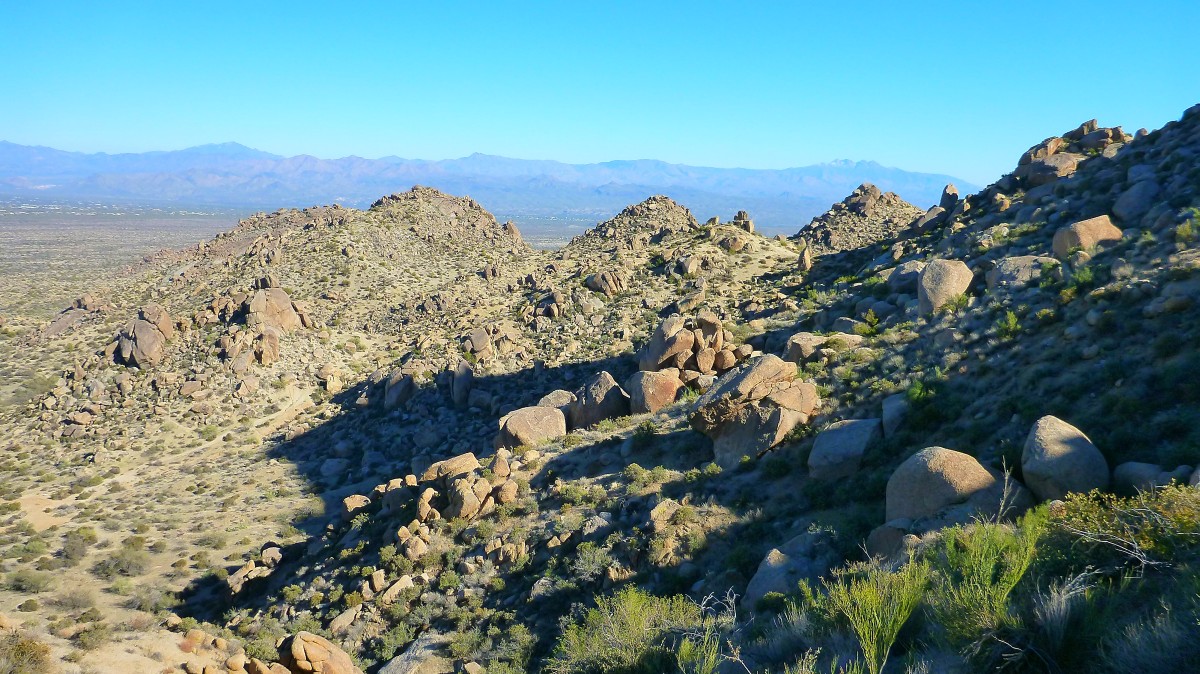
As you continue up the trail you can see that you are now higher than all the nearby mountains to the West.
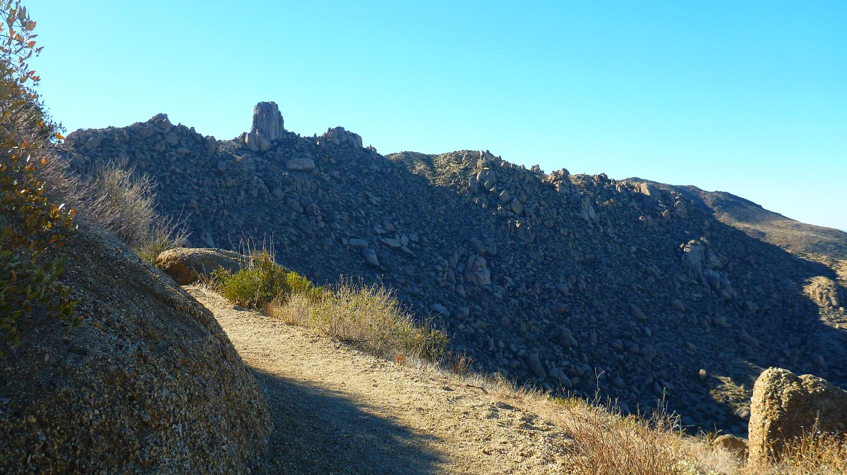
Tom's Thumb is slowing getting closer as you make your way up the trail.
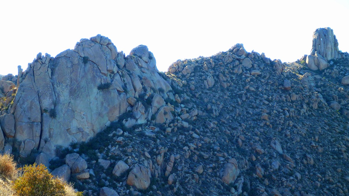
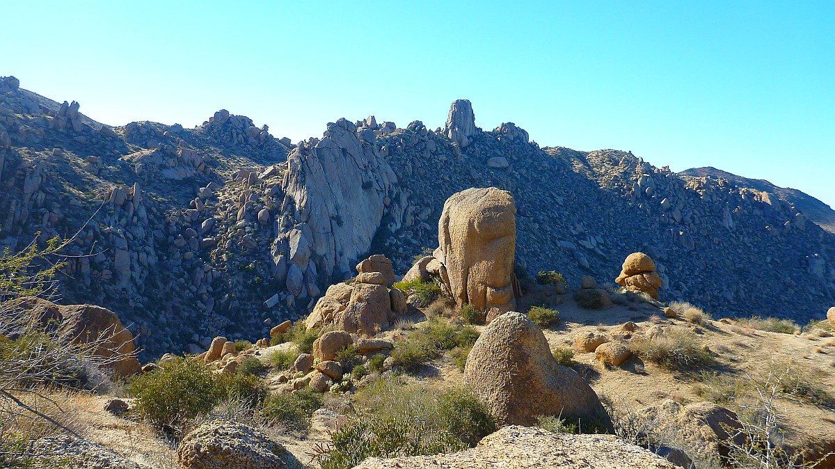
Lots of other big rock formations are on the same ridge as Tom's Thumb. But Tom's Thumb is the highest at 3925 ft.
More incredible boulder formations as you make your way along the ridge
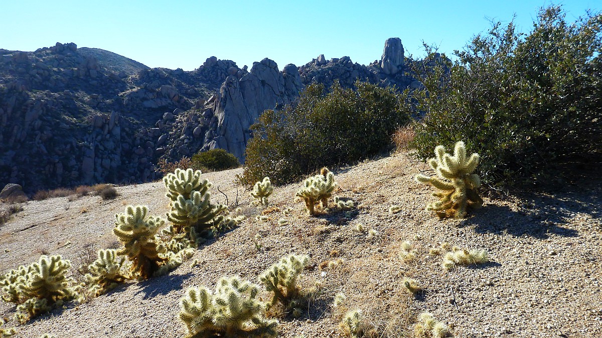
The view from the ridge top looking across at Tom's Thumb with glowing Chollas in the foreground.
View looking North from the top of the ridge leading to Tom's Thumb
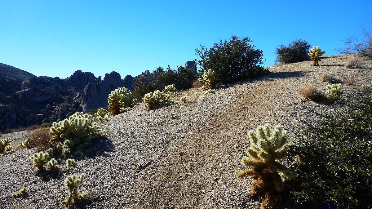
More glowing Chollas in the afternoon sun. The time is around 3:00 pm.
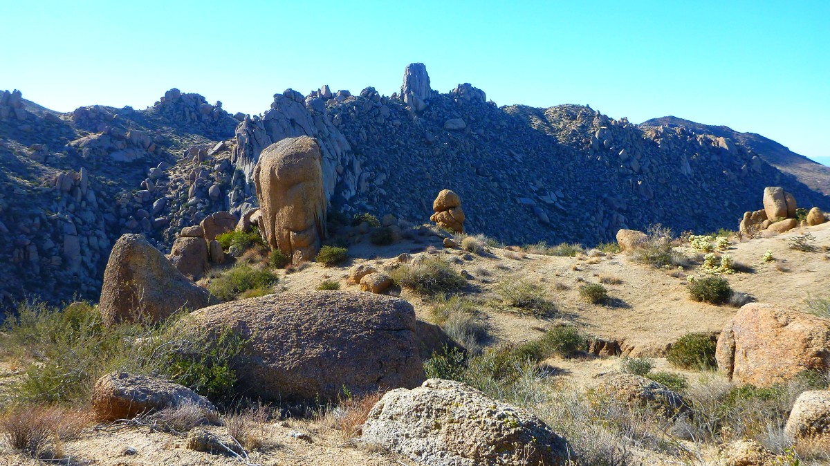
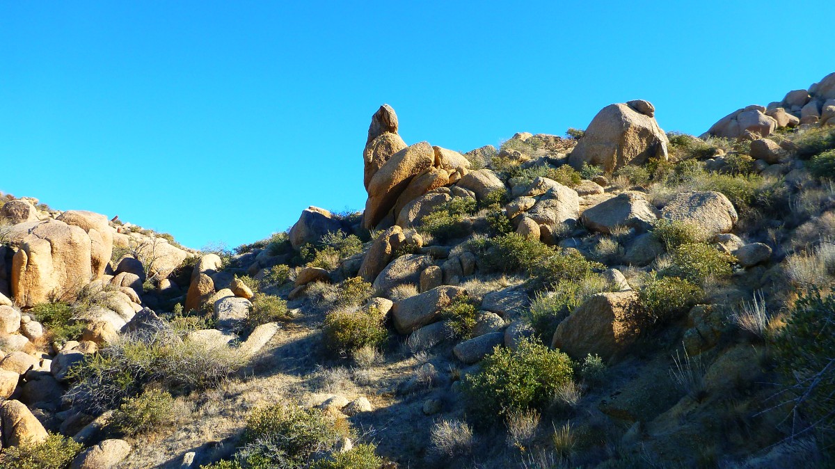
More tall standing boulders that are minature versions of Tom's Thumb
The trail goes up and down several times along the ridge as you get closer to the thumb.
This view shows three thumbs lined up in a row.
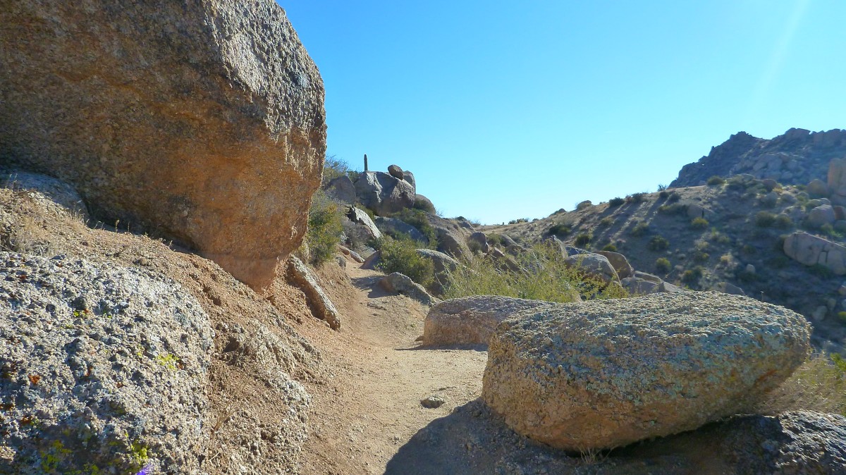
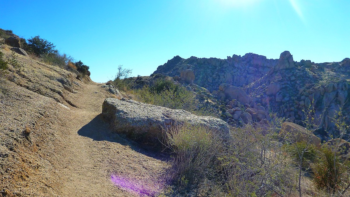
The trail is bit more rugged in places along the ridge.
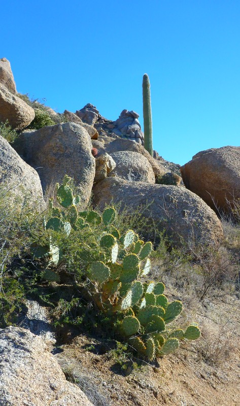
One of the very few Saguarro cacti that you will see on this trail.
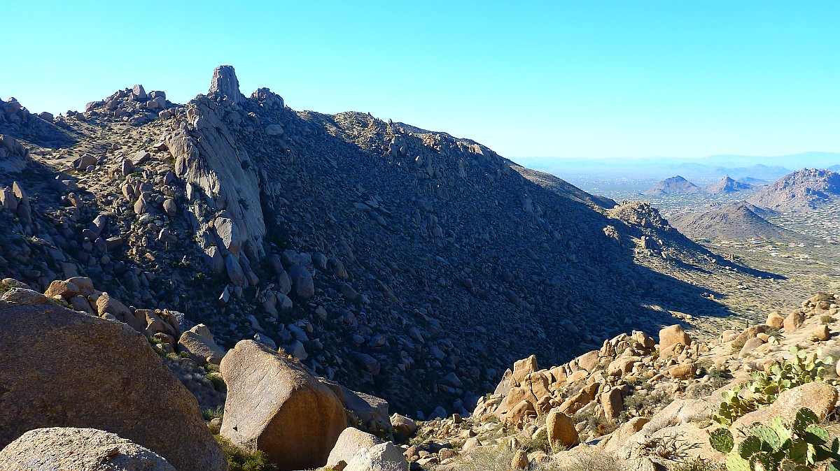
At this point you are at same elevation as Tom's Thumb which is just across the ridge to the West
More boulder fields as you make your way across the ridge to the thumb